The Fimmvörðuháls Pass - A Magnificent Hike for Outdoor Enthusiasts
| All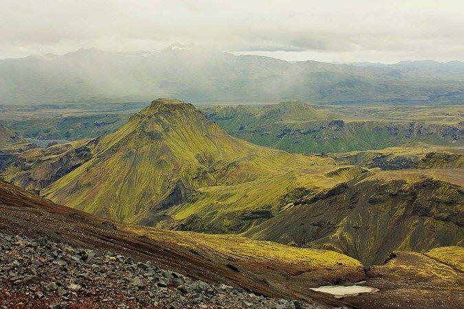
Iceland is a hiker’s paradise. The huge sky, epic canyons, waterfalls, mountains, glaciers, volcanoes and steaming ground give you something to look, marvel at, in fact, at in any direction. So how do you choose a hiking trail, with so many to choose from?
One of the World’s Best Hikes
This post isn’t about how to choose, but does offer a pretty good suggestion, we feel. National Geographic has even voted the Fimmvörðuháls Pass as one of the world’s best hikes. Have we persuaded you? Maybe not yet, but we're getting there.
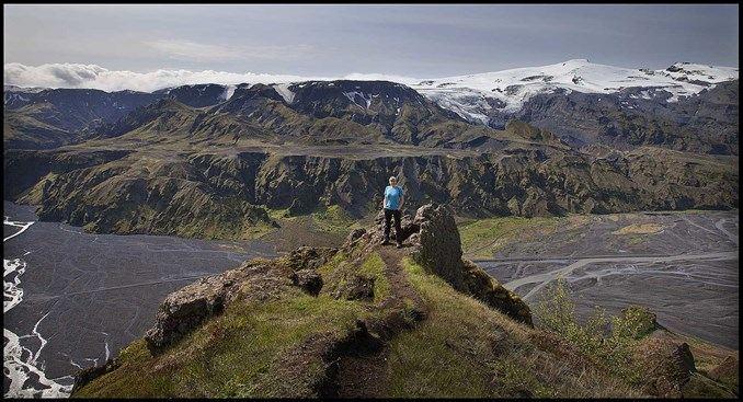
If want want big, epic, non-technical, visually and geographically all-encompassing, perhaps one of the most epic hikes in Iceland is the hike through the Fimmvörðuháls Pass; it’s a tiny strip of land that sits between two glaciers: Eyjafjallajökull (of 2010 eruption fame) and Mýrdalsjökull (also with a larger, much more powerful volcano, Katla, underneath it).
Which way around?
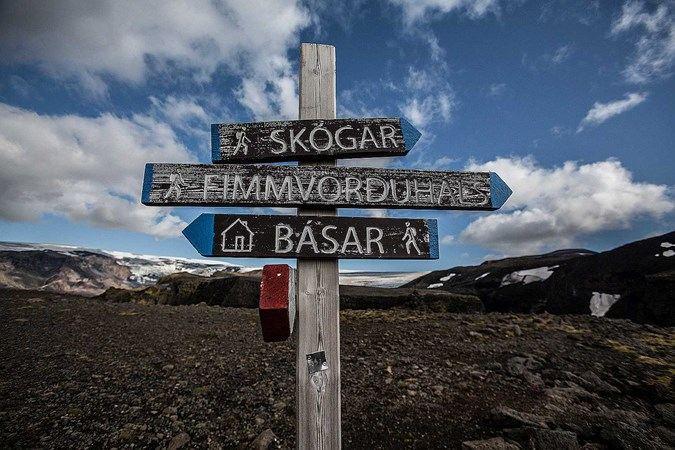
There are two ways around that you could potentially take on the Pass: the first starts in Skogar, at the legendary Skogafoss. Here, you follow a succession of 22 other waterfalls, along the Skógá river, which lie behind it. The elevation increases gradually until reaching the the plateau at about 1100m of altitude. After several kilometers, this drops down dramatically into the Land of the Gods (Goðaland) as you descend into the valley below.
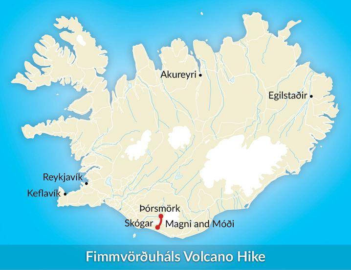
The second way around actually starts in Thorsmork. You are much more likely to complete the trail this way around if you have already completed the Laugavegurinn trail, which actually finished in Thorsmork, having started in Landmannalaugar, and makes a great extension to this already incredible journey. Then, you just have to cross the river with the temporary (but very sturdy) bridge and get started on the steep ascent through Goðaland. This is beyond awesome in summer; the way that the early morning sun hits the mountains is out of this world; when you hike through it, you will begin to understand why it is called the Land of the Gods.
Geological dream
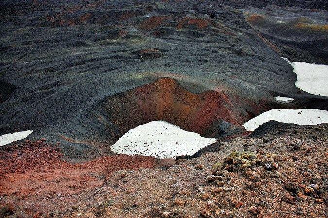
Fimmvörðuháls
The way over the pass, in either direction, reveals a wealth of geological features left over from the eruption of Eyjafjallajökull in 2010. These include including Móði and Magni (so named after the sons of Thor) which are some of the world's youngest volcano craters, still steaming form the eruption, the lava not far below.
Also in clear view is new lava field was named Goðahraun, Lava of the Gods, the new lava field created by the 2010 eruption, from the fissure that opened up along the Pass. You can imagine what sort of view you will get over Thorsmork and the surrounding. Get a little taste here…

Þórsmörk
The Going
Overall, we at Icelandic Mountain Guides place the Fimmvörðuháls pass at level 4 on our 1- 5 scale. Defined as:
Demanding some effort and certain endurance. Good health and some hiking experience is required. 6-8 hours walk per day. Often involves carrying your own gear.
This is owing to it’s length (22 kilometres (14 miles)), the elevation gain, over 1000m (3250 ft.) and the diverse range of terrain covered along. However, if you have completed the Laugavegurinn trail, you won’t have any problem with Fimmvörðuháls.
Join us on and over the Pass!
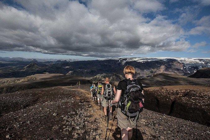
Fimmvörðuháls
Summer is on our doorstep, and we are eagerly anticipating the highland hiking season. Fimmvörðuháls opens in June. So what are you waiting for, come on and join us?
Keep me informed about the Icelandic Mountain Guides Blog
Outdoor adventure in Iceland is our specialty. Subscribe to our free monthly newsletter to learn when to go, what to do and where to have the best adventures in Iceland.