The Best Hikes Near Reykjavík: A Hiker’s Guide to Iceland's Capital
| All, Travel Guide, DISCOVER ICELAND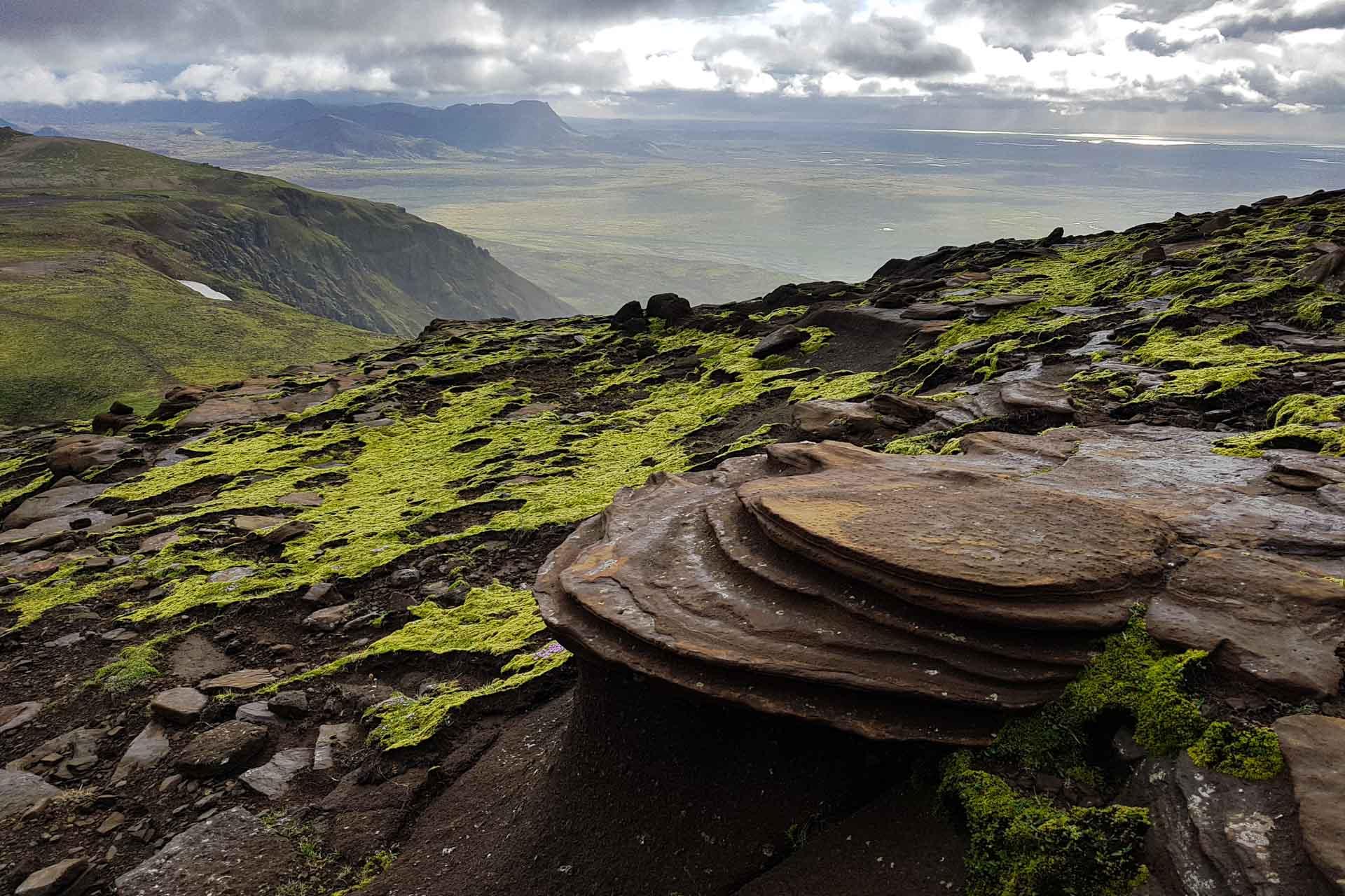
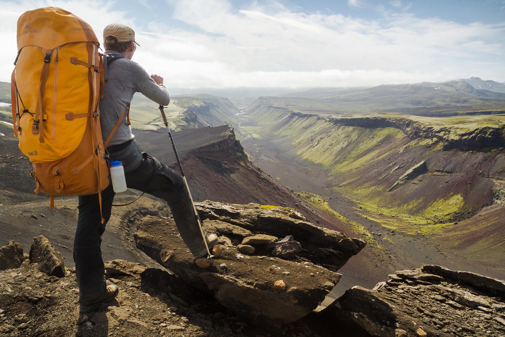
View on the Vörðuskeggi hike near Reykjavík
Table of Contents
It’s hard not to envy the citizens of Reykjavík: there are not many capital cities that can claim to have so much nature on their doorstep. It’s not just mountains, lakes and ocean surrounding the city either; there are also striking volcanic landscapes of lava fields and craters as well as ethereal geothermal areas of bubbling mud pots, steaming thermal rivers and pools.
Within an hour of Reykjavík - sometimes half an hour-you’ll also find some challenging peaks to climb. In fact, there are mountains just a 10-minute drive away! So, if you're based in the compact capital for your trip to Iceland, it takes no time to get out into stunning nature. No wonder hiking is so popular in Reykjavík.
Icelandic Mountain Guides offer a range of thrilling tours from Reykjavík. Settle down with a cuppa - beer or wine - and take your pick.
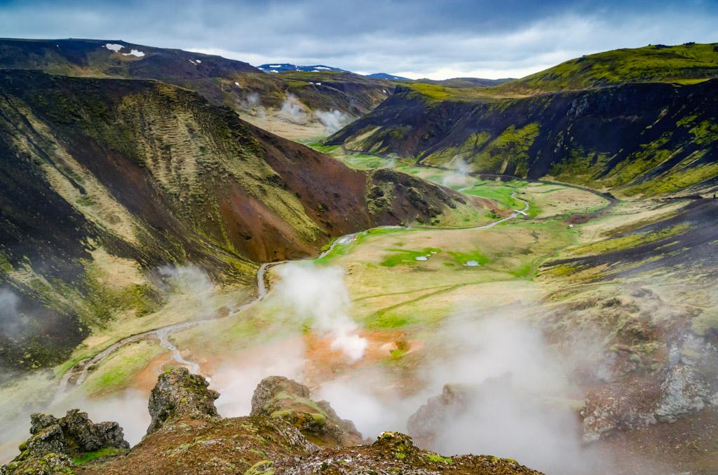
Smoking hot springs in Reykjadalur valley near Reykjavík
Best Hiking Trails in Reykjavík
Elliðaárdalur Valley
On the edge of the city, you’ll find Elliðaárdalur, a beautiful park in nature just ten minutes from downtown Reykjavík. Enjoy rapids, waterfalls, forest trails, and rabbits roaming the area. The valley offers easy sauntering for the leisurely wanderer.
Öskjuhlíð
Even closer to the city centre is Öskjuhlíð, a picturesque pine and birch forest with an intriguing building, called "Perlan" on the top of the hill. The glass dome rests on top of six cylinder heating tanks, each one containing around four million litres of geothermal water.
The award-winning building houses a museum, planetarium, ice cave and observation deck with incredible views of the city below. From the top of the hill, visitors can enjoy spectacular views of Reykjavik and the surrounding area.
There are several hiking trails in the Öskjuhlíð forest, mostly easy walks. The paths are well-marked and maintained, making it easy for visitors to explore the area on foot.
Úlfarsfell - aka Reykjavík Summit
On the edge of Reykjavík’s eastern suburbs, you’ll find Úlfarsfell, the city’s local mountain, standing at 296 metres (971 feet). There are several routes to the top with panoramic views of west Iceland - Mount Esja, the Bláfjall mountain range, Faxaflói Bay, the Reykjanes Peninsula and in crystal-clear weather, the Snӕfellsnes Peninsula. Easy to moderate rambling.
The most popular path to the top starts from the parking lot "Skógræktarfélag Mosfellsbæjar Hamrahlíð" by Road 1. The trail starts off relatively easy, but as it progresses, the incline becomes steeper, and hikers need to be prepared for a short but more challenging ascent. it's easily walkable in summer.
Seltjarnarnes Peninsula
Head a few minutes northwest of downtown Reykjavík to experience the city, mountains and coast on Seltjarnarnes Peninsula. Surrounded by sea on three sides, you can walk the coast to the tidal island of Grótta with its soaring lighthouse (tides permitting). The peninsula is a great spot to watch the sunset - and the northern lights after dark - in the right conditions. Great for an evening stroll.
Viðey Island
Videy Island is a beautiful hiking location just off the coast of Reykjavik. It's home to several hiking trails that wind through its rugged landscape. The paths are well-marked and offer a range of difficulty levels, from easy walks to more challenging hikes.
One of the most popular hiking trails on Videy Island is the trail that leads to the Imagine Peace Tower, a memorial to John Lennon that was created by his widow, Yoko Ono. The trail offers stunning views of the surrounding landscape and takes hikers through some of the island's most scenic areas. The trails are great for wildlife enthusiasts too. Leisurely rambling for the art enthusiast and bird lover.
The ferry terminal is easily reached with the city’s buses and is free to use with the Reykjavík City Card! There are regular summer sailings from Skarfabakki and Ægisgarður. Winter sailings are from Skarfabakki and only run at the weekend.
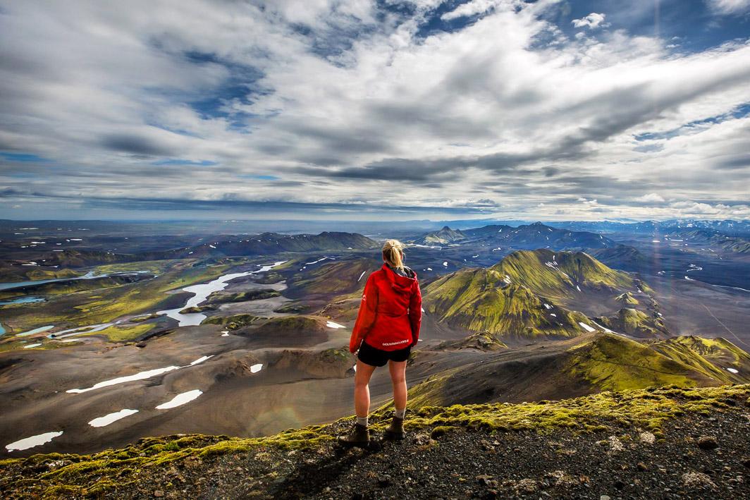
Iceland Hiking: Ultimate Guide
In this Ultimate Guide to Hiking in Iceland we’ll tell you everything you need to know: how to prepare, what to wear and what equipment you’ll need. We’ll show you the most beautiful hikes in Iceland with an at-a-glance guide to distance, elevation and difficulty.
We’ll even suggest the best guided tours with Icelandic Mountain Guides that will take all the work out of planning your hike.
Best Hiking Trails near Reykjavík
Mount Esja
Less than half an hour up the northwest coast from downtown Reykjavík, you’ll come to the Mount Esja car park at Mógilsá. The soaring peak is a dramatic backdrop to the city - and Esja is an accessible mountain from the capital.
Mount Esja is covered in paths, well signed with helpful grading: one boot for easy, two for moderate, and three for challenging. The most popular trail is the one that leads to the summit. More leisurely ramblers can walk safely as far as the rock ‘Steinn’.
Experienced hikers can continue to the summit of the 914-metre-high peak (almost 3,000 ft) with far-reaching views on a clear day. The last leg of the hike includes some rock climbing and challenging steps, so we only recommend it in the summertime.
Another popular trail on the Esja mountain range is the Kerhólakambur hike. The trail takes hikers up the Kerhólakambur, a peak at 772 meters above sea level and offers stunning views of the surrounding landscape.
The hike begins at the parking area near the base of the mountain, and from there, hikers will start a steep ascent that takes them through rugged and rocky terrain. The trail can be challenging and requires some level of fitness and proper hiking gear, such as sturdy hiking boots, warm clothing, and a backpack with snacks and water.
As hikers make their way up the mountain, they will be rewarded with stunning views of the surrounding landscape, including the nearby town of Akranes, the Faxaflói Bay, and the Snæfellsjökull glacier in the distance. At the mountain's summit, hikers can take in the breathtaking views and snap some memorable photos.
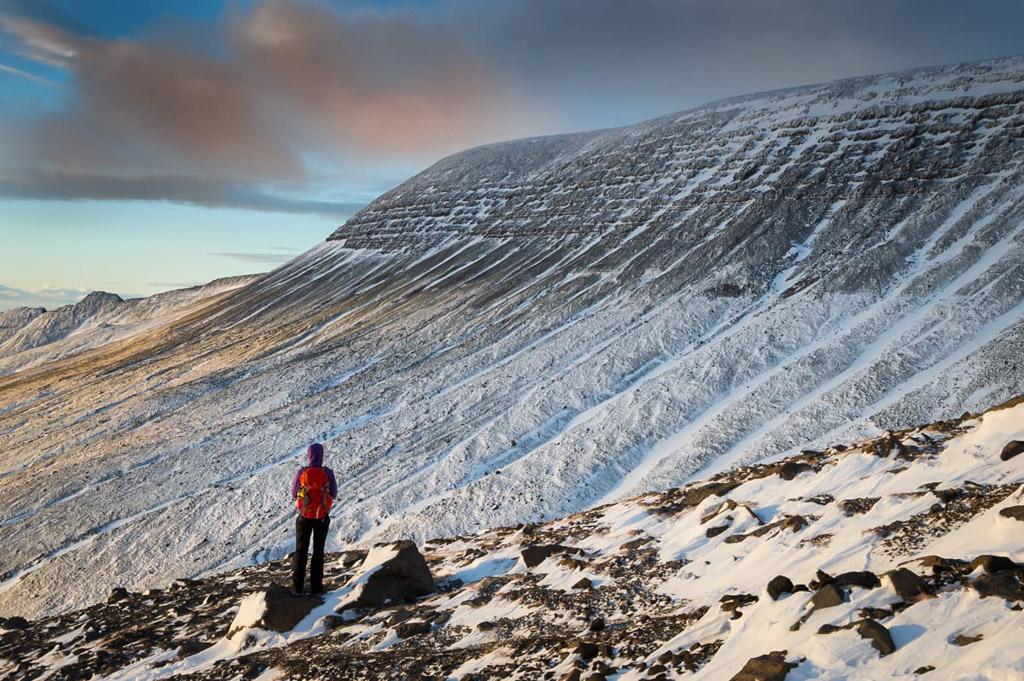
Mount Esja in winter
Heiðmörk Nature Reserve
The nature reserve, another short half-hour drive from the centre of Reykjavík, lies just beyond the edge of suburbia, yet it feels a million miles away. The protected forest area, Rauðhólar craters and waters of Ellidavatn have an otherworldly feel, along with the lava fields and creeping lichens and mosses. Inside the reserve, you’ll enjoy easy rambling on the trails.
Búrfell in Heiðmörk
Búrfell is a volcanic crater in the Heiðmörk nature reserve, just outside Reykjavik. The mountain is a popular destination for hikers and nature enthusiasts, offering stunning views of the surrounding landscape and a range of hiking trails suitable for hikers of all levels.
From the car park at Garðabær, the trail sets out along a wide flat path before gently climbing through the lunar landscape, finishing with a short sharp ascent through rocky terrain to this volcanic crater. To finish, circumnavigate the rim with its dizzying drops. This is an easy hike of 5 km (just over 3 miles) with an ascent of just 211 metres (692 feet). Moderately easy.
Rauðhólar in Heiðmörk
For all budding geologists, this part of the nature reserve shouldn’t be missed. Lying just beyond the eastern suburbs of Reykjavík, Raudhólar means ‘Red Hills’ with striking red soils and weirdly formed outcrops that wouldn’t look out of place on Mars.
As you wander the trails, feast on the colourful reds and greens and the pseudo craters (rootless cones) on top of the Elliðaárhraun lava field. A rare geological feature, pseudo craters are formed when 1,100°C molten lava flows over ponds and swamps, causing the water to boil and steam and explode, creating the phenomenon.
As hikers make their way up and around the craters, they will be treated to stunning views of the surrounding landscape, including the nearby city of Reykjavik and the nearby ocean. The area is also home to a variety of plant and animal life, adding to the natural beauty of the area.
Easy to moderate trails.
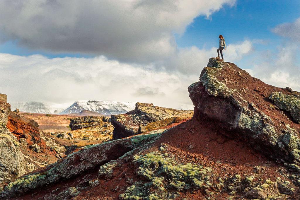
Raudhólar in Heidmörk
Móskarðshnjúkar
Seen from Reykjavík, Móskarðshnjúkar is a bright yellow peak that lies close to Mount Esja, approximately 15 kilometres (9 miles), 20-25 minutes drive from Reykjavík.
Móskarðshnjúkar is primarily composed of rhyolite, a type of volcanic rock typically light in colour, ranging from yellow to pink, and sometimes with a slightly reddish tint. It's a popular destination for hikers and outdoor enthusiasts, with several hiking trails leading to the peaks and surrounding areas.
This hiking destination is less easy to reach than Esja, making it a quieter place to trek. To get here, you must drive Road 36 to Þingvellir and turn left after the farm at Gljúfrasteinn, continuing along the gravel road to the car park. There’s a challenging sustained ascent up the mountain with a stiff climb on the last stage as you trudge the screen-covered conical top. The trail is 6.9 km (4 miles plus) long and has an elevation gain of 650 metres (2,100 ft).
Helgafell
Another hop and a skip from the city centre, Helgafell is just 20 minutes south of the centre of Reykjavík in a volcanic landscape. The mountain stands at 338 meters (1,109 feet) tall and is known for its scenic views of the surrounding countryside, including nearby mountains, lava fields, and the Atlantic Ocean.
It’s hard to believe this rocky lunar landscape with its lava fields is so close to suburbia. Several trails lead to the summit; the most popular one takes about two hours to complete and is technically not challenging; however, it requires good physical fitness due to the steep elevation gain.
Vífilsfell
Half an hour southeast of the city, the climb up the mountain of Vífilsfell - 655 metres (nearly 2,200 feet) - is an upward trudge with steep terrain on the upper part of the mountain. The hike to the summit of Vífillfell is a strenuous 6.4 kilometre (4 miles) round trip trek that can be completed in about 3-4 hours.
The trail begins with a gradual ascent through a grassy field before entering a rocky section that becomes increasingly steep. As hikers near the summit, the trail becomes steep and rocky, requiring some scrambling to reach the top.
At the summit, hikers are rewarded with stunning views of the surrounding landscape. On a clear day, it is possible to see all the way to the Snæfellsnes Peninsula to the west and the Vestmannaeyjar Islands to the south.
It is important to note that the trail can be challenging and steep, so it is recommended for experienced hikers. Proper hiking shoes, warm clothing, and plenty of water are also essential for this hike. Winter climbers will need appropriate equipment: ice axe, crampons, avalanche probe etc.
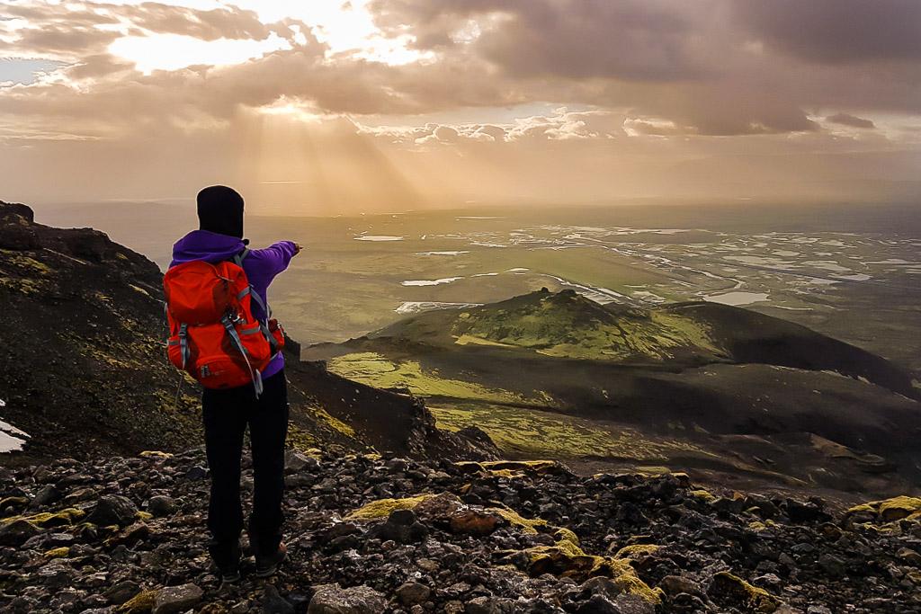
The view from Vifilsfell mountain hiking area near Reykjavik
Reykjadalur trail
Fifty minutes southeast of the city centre, you’ll find the famous Reykjadalur near Hveragerði town. The ‘Smokey Valley’ in Icelandic is named for the hot springs and geothermal activity in the area. The easy 3.5-km (3-mile) uphill hike follows the ‘hot river’ through undulating land of vivid greens, yellows and browns.
The trail begins just outside of the small town of Hveragerði and follows a gentle path through scenic countryside and past bubbling hot springs. As you approach the end of the trail, the terrain becomes more rugged, and the landscape transforms into a series of steaming hot springs and geothermal pools. The trail leads to a series of wooden walkways that allow hikers to safely approach and observe the hot springs and geothermal features.
The highlight of the Reykjadalur trail is the opportunity to soak in the warm river in a picturesque valley which offers stunning views of the surrounding countryside - the perfect endpoint to a gentle climb. Don’t forget your swimwear and a towel!
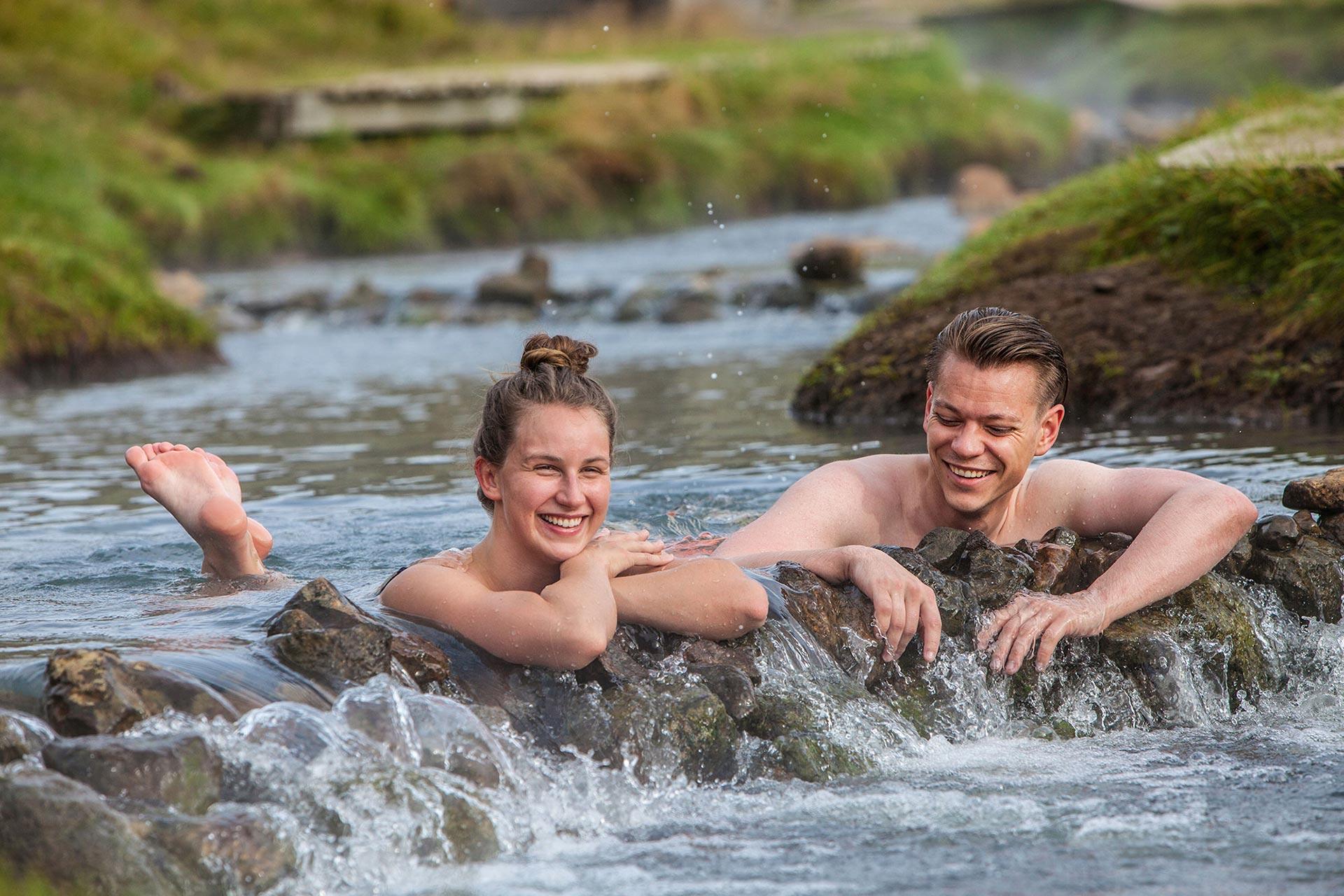
Hikers taking a natural bath in the warm river of Reykjadalur
Hengill: Vörðuskeggi
The highest peak in the volcanic Hengill mountain range, the challenging route begins from the car park on the other side of the Hellisheiði power plant, off Route 1—just half an hour from Reykjavík, near Hveragerði.
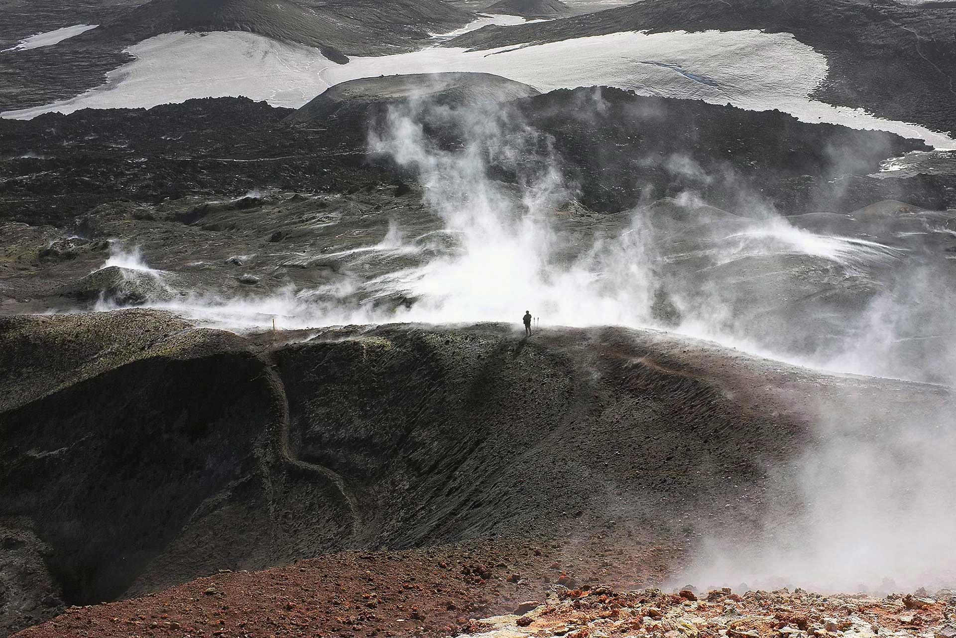
The mountain range is a geologically thrilling place to trek. Geothermally active, the area is full of bubbling mud pots, steaming vents and hissing fumaroles. The route up Vörðuskeggi is challenging and requires some good hiking experience, although the path is well-marked.
Snow can linger through spring into early summer. The Vörðuskeggi route takes you along a high-level ridge, then through the green valley of Innstidalur. There are fantastic views from the top on clear days of Þingvellir, the lake of Þingvallavatn and the Vestmannaeyjar islands. For the ultimate Three Peaks Challenge, taking in Vörduskeggi, book this epic 5-day tour with Icelandic Mountain Guides.
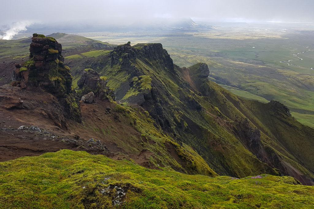
View on the Vörðuskeggi hike
Glymur Waterfall
Just over an hour from Reykjavík, northeast of the capital, an epic trail leads to the second-highest waterfall in Iceland. You’ll find it at the end of Hvalfjörður fjord, where the trail snakes up from Botnsdalur. It’s a beautiful half-day hike, usually rated as moderate, but it highly depends on the weather conditions.
The hike is approximately 7 kilometres (4.3 miles) each way and takes about 3-4 hours to complete. The trail is suitable for experienced hikers and requires good physical fitness as there are several steep and rocky sections.
The trail follows a path along the banks of a river, leading hikers through a beautiful valley filled with lush vegetation, moss-covered rocks, and wildflowers.
As hikers approach the waterfall, the trail becomes more challenging and requires scrambling over rocks and crossing a narrow log bridge suspended over a river gorge. The final ascent to the waterfall requires climbing a steep and narrow path along the edge of a cliff, offering stunning views of the waterfall and the surrounding valley.
At the top of the waterfall, hikers are rewarded with breathtaking views of the surrounding countryside, including the Hvalfjörður fjord and the nearby mountains.
It is important to note that the trail can be steep and rocky, and the log bridge and narrow path along the cliff can be challenging and potentially dangerous, especially in wet or windy conditions. Proper hiking shoes, warm clothing, and plenty of water are essential for this hike. The hike is not recommended in winter.
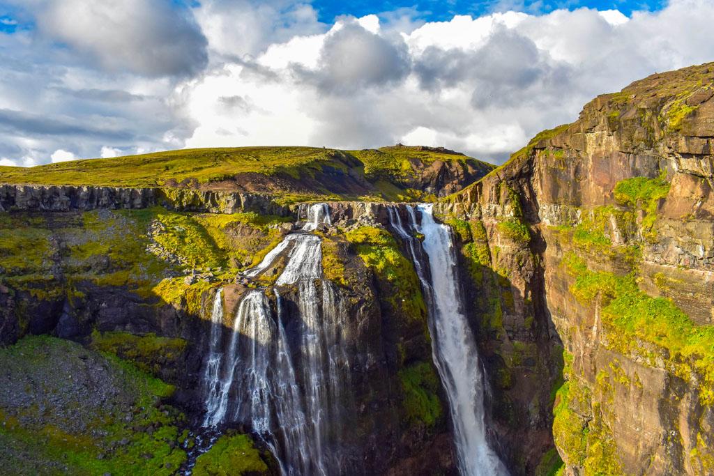
The top of Glymur, the second tallest waterfall in Iceland
Mount Akrafjall
Three-quarters of an hour from Reykjavík on the Akranes Peninsula of West Iceland, follow the sign for Haihnukur (555 metres/1,820 feet) from Akranes Water Works, then head right along the glacier smoothed shoulder to the summit. The distance of the hike is around 8 km.
The adjacent summit of Geirmundartindur is higher at 643 metres (2,110 feet). There is also a loop route that combines the two main summits along with other minor high points. The route is roughly 10 kilometres and has a change in elevation of 600 meters. The loop route provides an excellent opportunity for hikers to experience the beauty of Iceland's rugged landscape up close.
The views from the top across Faxafloi Bay, Reykjanes and the Snaefellsjokull Glacier are breathtaking.
Þorbjörn over Blue Lagoon
This is an easy hike of 13 km (11 miles) and an ascent of 278 metres (912 feet) with fantastic views of the Atlantic Ocean, the surrounding lava fields and the milky-blue waters of the Blue Lagoon. Starting from Grindavík (50 minutes from Reykjavik), head over to Þorbjörn (Thorbjorn) with its abandoned radio tower and buildings used by the US Navy in the 1990s.
Once at the summit, hikers are rewarded with a breathtaking panoramic view of the Reykjanes Peninsula, including the Blue Lagoon, the ocean, and the surrounding volcanic landscape. On a clear day, it's even possible to see the Snæfellsnes Peninsula in the distance. Booking a session at the Blue Lagoon along the way will do wonders for aching muscles.
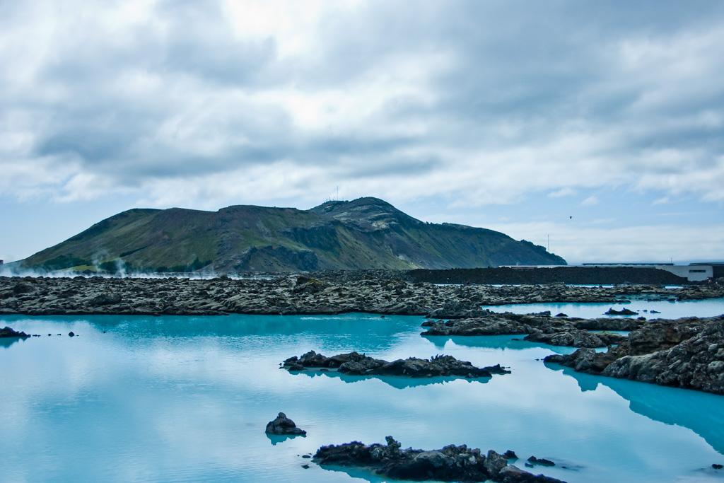
Thorbjorn mountain with the Blue Lagoon in the foreground. Photo: https://www.flickr.com/photos/moohaha/
Fagdradalsfjall / Merardalir volcano hike
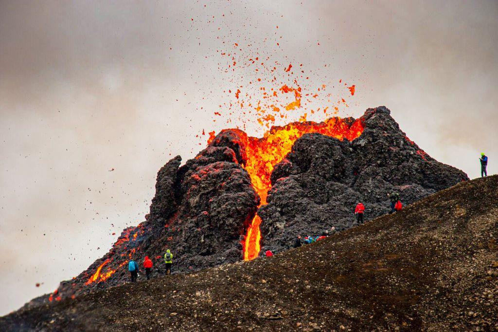
Only 32 km (20 miles) from Reykjavík on the Reykjanes Peninsula, Fagradalsfjall and Merardalir are two of Iceland’s most famous volcanic sites presently because of their 2021 and 2022 eruptions. All has gone quiet in this area near the Blue Lagoon and airport, but caution is still required: the ground continues to be very hot in places.
Stay safe and keep to the marked route. A 14-km (nearly 9 miles) circular hike starts from the Fagradalsfjall car park and takes you through solidified lava. The hike all the way to the new eruption site is about 7 km (4.4 miles) each way, with an elevation gain of 300 metres (990 feet). This thrilling hike through a lunar landscape requires stamina and regular fitness.
Ultimate List of the Best Hikes in Iceland
There’s nothing better than an easy-to-read Ultimate List of the Best Hikes in Iceland. Scroll through our recommended treks, from easy rambles to challenging peaks. Not only do we have a hike for every fitness level, but we also have hikes that take in a variety of terrains. Whether you’re after colourful rhyolite valleys, lunar-like lava fields, volcanic craters and peaks, steaming geothermal landscapes or gentle waterfall walks, we have you covered.
The Best Guided Hikes from Reykjavík
Guided hiking tours are a great way to explore Iceland's breathtaking landscapes safely and comfortably. Booking a guided hiking tour is especially recommended for those with less hiking experience and unfamiliar with the terrain or the unpredictable Icelandic weather.
Group tours provide the opportunity to hike with like-minded travellers and get valuable insights into the area's local flora and fauna, geology, and history. With an experienced, trained local mountain guide, hiking in Iceland is easy, safe and enjoyable.
Icelandic Mountain Guides offer some of the best hikes going within easy reach of Reykjavík. Here are just a few to whet your appetite:
Take a Walk on the Ice Side
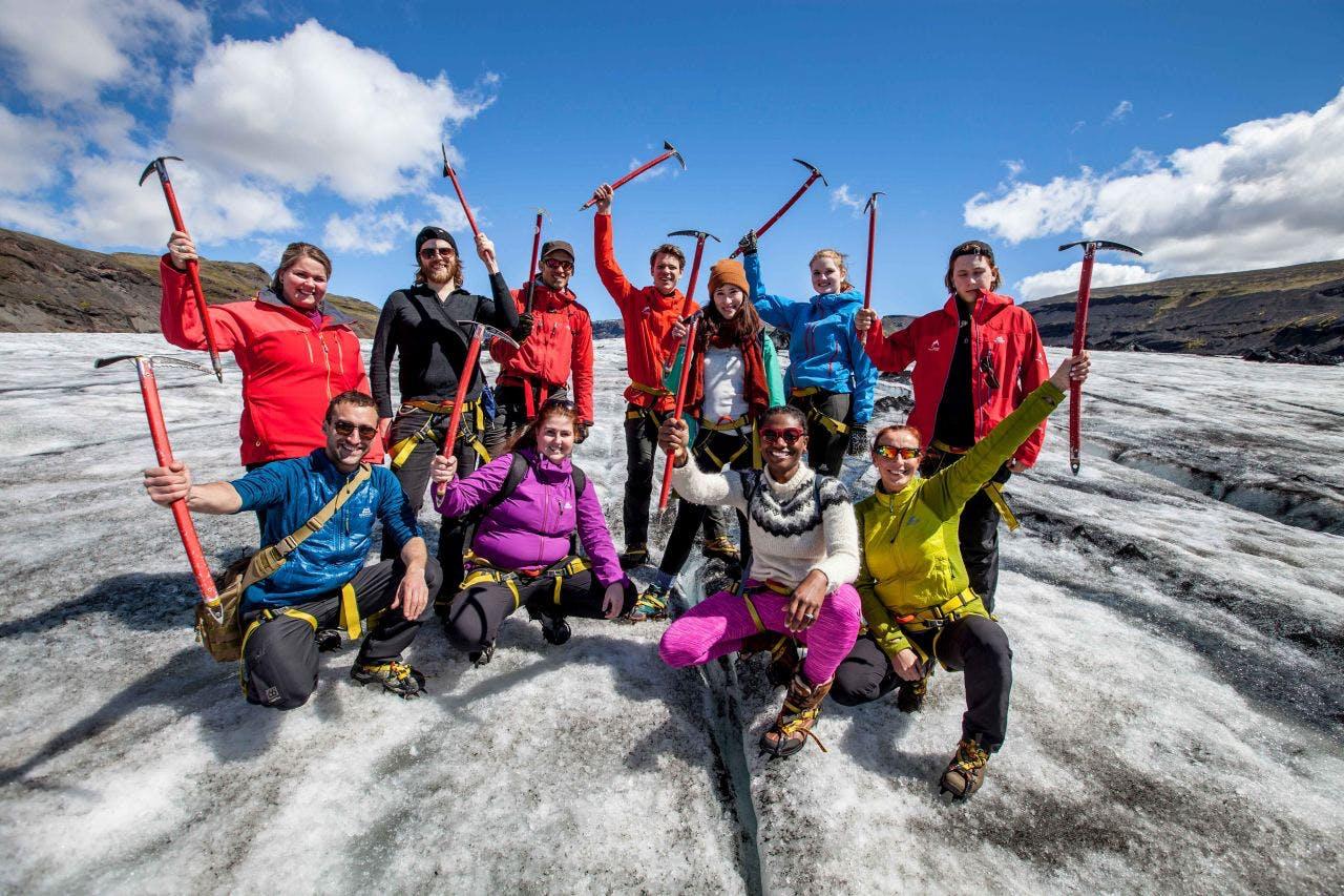
The guided tour - Take a Walk on the Wild Side, does what it says on the tin: this is an easy but thrilling glacier hike on the glacier Sólheimajökul, an outlet of Mýrdalsjökull, Iceland’s fourth-largest glacier. Experience ice sculptures, ridges and crevasses. The day trip also includes visits to Skógafoss and Seljalandsfoss waterfalls on Iceland's South Coast.
The Green Ridge Hike
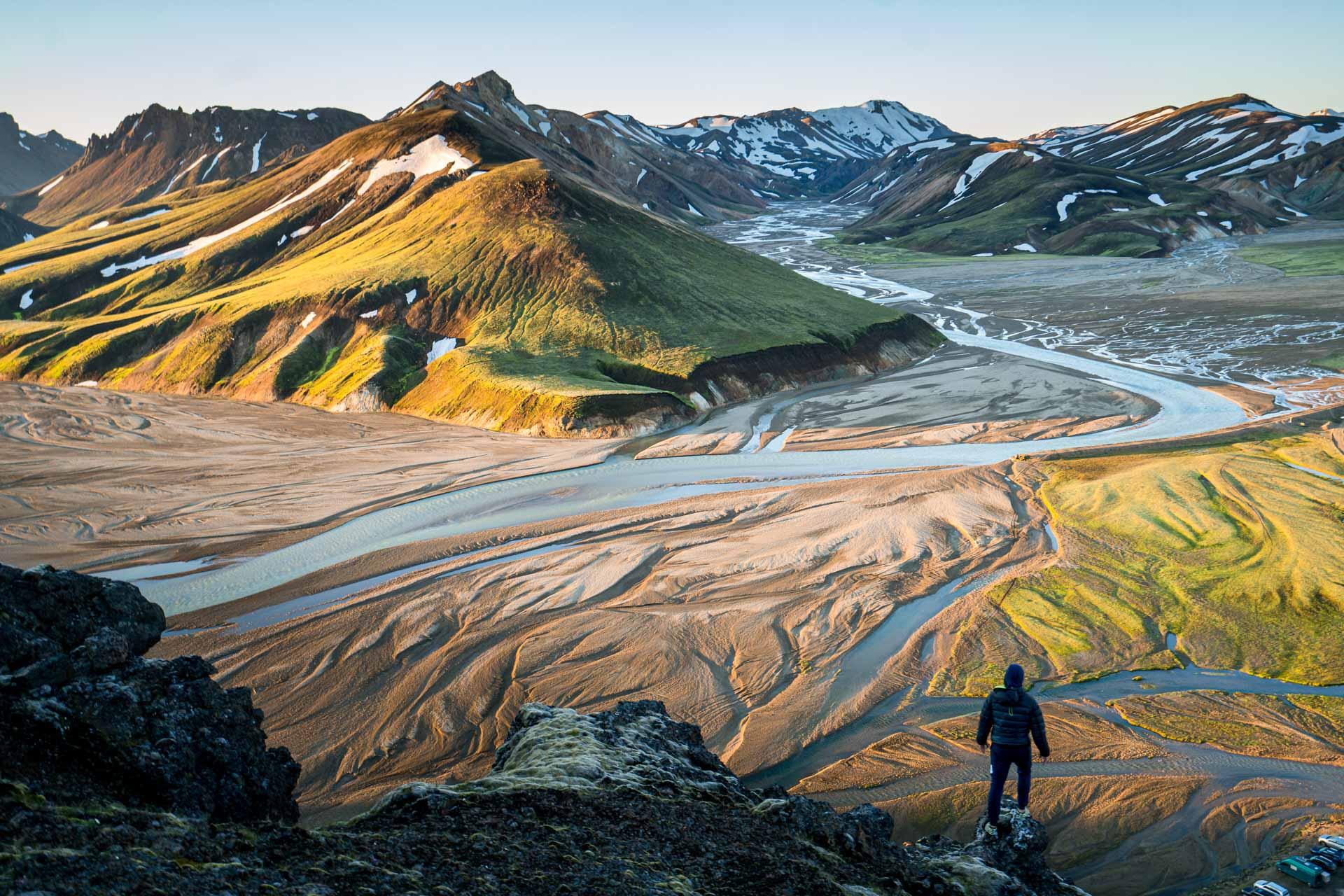
Landmannalaugar is a popular hiking destination in the Highlands of Iceland, known for its stunning, colourful landscapes and natural hot springs. The epic The Green Ridge Hike takes through a fluorescent green ridge of the Landmannalaugar area for an otherworldly experience. The acidic volcanic rock of the rhyolite ridge has a startling vividness. The hike takes about 8 hours and includes some small river crossings
Day Hike over Fimmvörðuháls
Fimmvörðuháls was named one of the world’s best hikes by National Geographic. The day tour takes you over the famous Fimmvörðuháls pass from Skógar to the Þórsmörk valley in the Icelandic Highlands. Crossing between the two glaciers of Eyjafjallajökull and Mýrdalsjökull, you’ll experience the lava fields and volcanic craters of Móði and Magni, formed from the 2010 eruption of Eyjafjallajökull.
Volcanic Wonders of Reykjanes Geopark
The Volcanic Wonders of Reykjanes is a fantastic day tour combining hiking and sightseeing. The tour takes you around the beautiful volcanic features of the Reykjanes UNESCO Geopark and includes a leisurely guided hike to the Fagradalsfjall/Geldingadalir eruption site.
The Lava tunnel
This is not your typical hike but a guided sub-terrain walk just 30 minutes from Reykjavík. The 5,000-year-old lava tunnel of Raufarhólshellir is one of the most extensive tunnels in Iceland that we know, with a total length of 1,360 metres—experience mesmerising stalactites, ice sculptures, and giant icicles in winter. The guided lava cave hike provides a fantastic opportunity to get close to nature - regardless of the weather conditions.
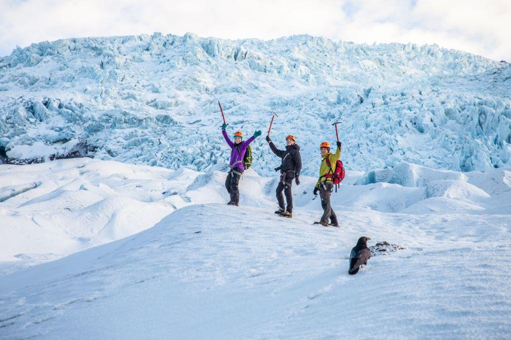
Ultimate Guide to Glaciers and Glacier Hikes
You can’t come to Iceland without doing a glacier walk! We guarantee it will be a highlight of your trip. Explore a magical world of weird ice formations, deep crevasses and mesmerising ice caves of many icy hues. In our Ultimate Guide to Glaciers and Glacier Hikes in Iceland, not only will we tell you how glaciers are formed, we’ll offer you a range of tantalising trips, so that you can see the magnificence of glaciers in all three dimensions. After all, there’s nothing like the real experience.
When is the best time to hike near Reykjavík?
The best time to hike in Iceland is between May and September, when you have long hours of daylight. Summer - June, July and August - are the optimal months with the best weather and enough daylight to hike for long hours.
Spring and summer usually arrive earlier in the capital area, and winter arrives later than in the rest of the country - always a bonus if you're based in Reykjavík. While spring and autumn offer colourful landscapes, paths can be muddy, making it tricky and unpleasant underfoot.
Winter hiking is an entirely different experience: the mountains are breathtaking under snow. But winter hiking requires a whole other set of climbing skills and challenges: you’ll need to know how to use crampons and an ice axe, and you’ll have to contend with short hours of daylight. Whatever the time of year, always check the weather and trail conditions before you set out.
Weather conditions for hiking in Reykjavík
When it comes to hiking in Reykjavík, weather conditions can have a significant impact on safety. Even if you are just hiking in the nearby areas, it is important to be aware of the potential dangers of the weather. The winter season in Iceland brings low temperatures, strong winds, and varying snow conditions.
These conditions can pose a risk to hikers, especially if they are not equipped with proper winter gear. It is essential to have the right equipment, including crampons and warm clothing, to ensure a safe and enjoyable hike.
Other important factors to consider before embarking on a hike in Reykjavík include visibility and daylight hours. During winter, daylight hours are limited, and visibility can be poor due to snow and fog. It is essential to check weather forecasts and trail conditions before heading out and to be prepared to adjust your plans if needed.
Additionally, it is recommended to download the safetravel.is app, which provides up-to-date information on weather conditions and potential hazards on hiking trails. With proper planning and preparation, hikers can safely enjoy the beautiful natural scenery around Reykjavík.
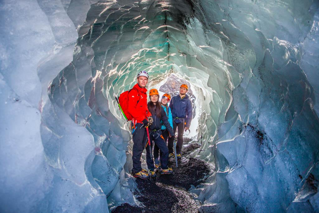
What to wear on a hike in Iceland
If you are planning to go on a glacier hike in Iceland, it is crucial to be appropriately dressed to ensure your safety and comfort. In this blog, we will go over what to wear on a glacier hike in Iceland and how you can apply the same principles to any hiking adventure in Iceland.
All around Reykjavík, there’s a wide variety of exciting hikes, from gentle coastal walks, city hills, parks and nature reserves to challenging mountain climbs along colourful rhyolite valleys, geothermal rivers and pools and across lava fields into steep and rugged peaks. Whatever your preference (or fitness level), Icelandic Mountain Guides has the hike for you with tours from Reykjavík.
Questions and answers about hiking near Reykjavík
What is the most famous hike in Iceland?
Laugavegur, without a doubt. The long-distance trail in South Iceland snakes between the hot springs of Landmannalaugar and Þórsmörk Nature Reserve. It takes in gorgeous gorges (sorry, I couldn’t resist that one), gleaming glaciers and multi-coloured rhyolite mountains.
What is the most difficult hike in Iceland?
Many hikes will challenge the most adventurous hiker, but Hvannadalshnjúkur, Iceland’s highest peak, will definitely test your mettle. For the ultimate endurance hike, how about The Iceland Traverse - Coast to Coast. This 32-day walk - yes, we’re talking a whole month - will give you a comprehensive and intimate experience of Iceland’s superb wilderness areas.
What mountains can you climb near Reykjavik?
So much choice! It depends on whether you want a saunter or a challenging climb; both are possible. Öskjuhlíð, in the heart of the city, is a mere 60 metres high (just under 200 feet) with a wonderful interactive museum in an award-winning building. Vörduskeggi in the Hengill Mountain Range offers challenging and rewarding climbing in thrilling volcanic and geothermal landscapes.
What is the famous mountain in Reykjavik?
Mount Esja is Reykjavík’s go-to mountain for those in the know, with a challenging 914 metre-high peak (almost 3,000 ft) for confident hikers.
Can you hike to a lava flow in Iceland?
The lava is no longer flowing in Geldingadalur, but the lava fields are still smouldering, making the area an exciting hiking destination. Other than Geldingadalur, there are many striking lava fields in the volcanic areas of Iceland to explore.
How difficult is a volcano hike in Iceland?
As long as you stick to the marked paths, even the most recently active volcanoes of Geldingadalur are safe, although taking a guided tour is always a good idea. Some of the higher volcanic mountains (not presently active) in Iceland require good levels of fitness and experience of climbing.
How long is the hike to Fagradalsfjall?
7 km (4.4 miles) each way, with an elevation gain of 300 metres (990 feet).
Keep me informed about the Icelandic Mountain Guides Blog
Outdoor adventure in Iceland is our specialty. Subscribe to our free monthly newsletter to learn when to go, what to do and where to have the best adventures in Iceland.
Related Blog Posts
Related Tours
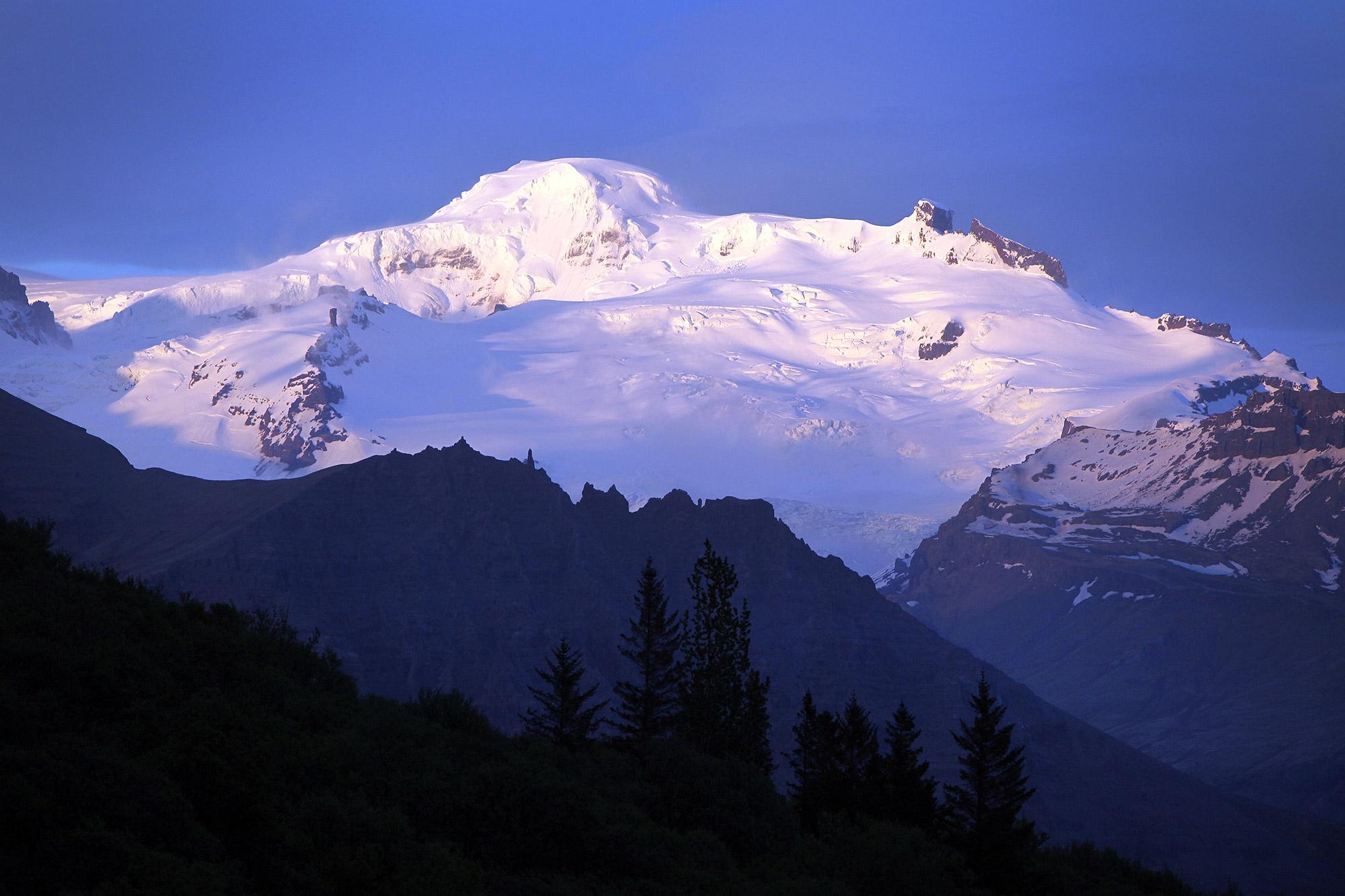
Hvannadalshnúkur - Iceland’s Highest Summit
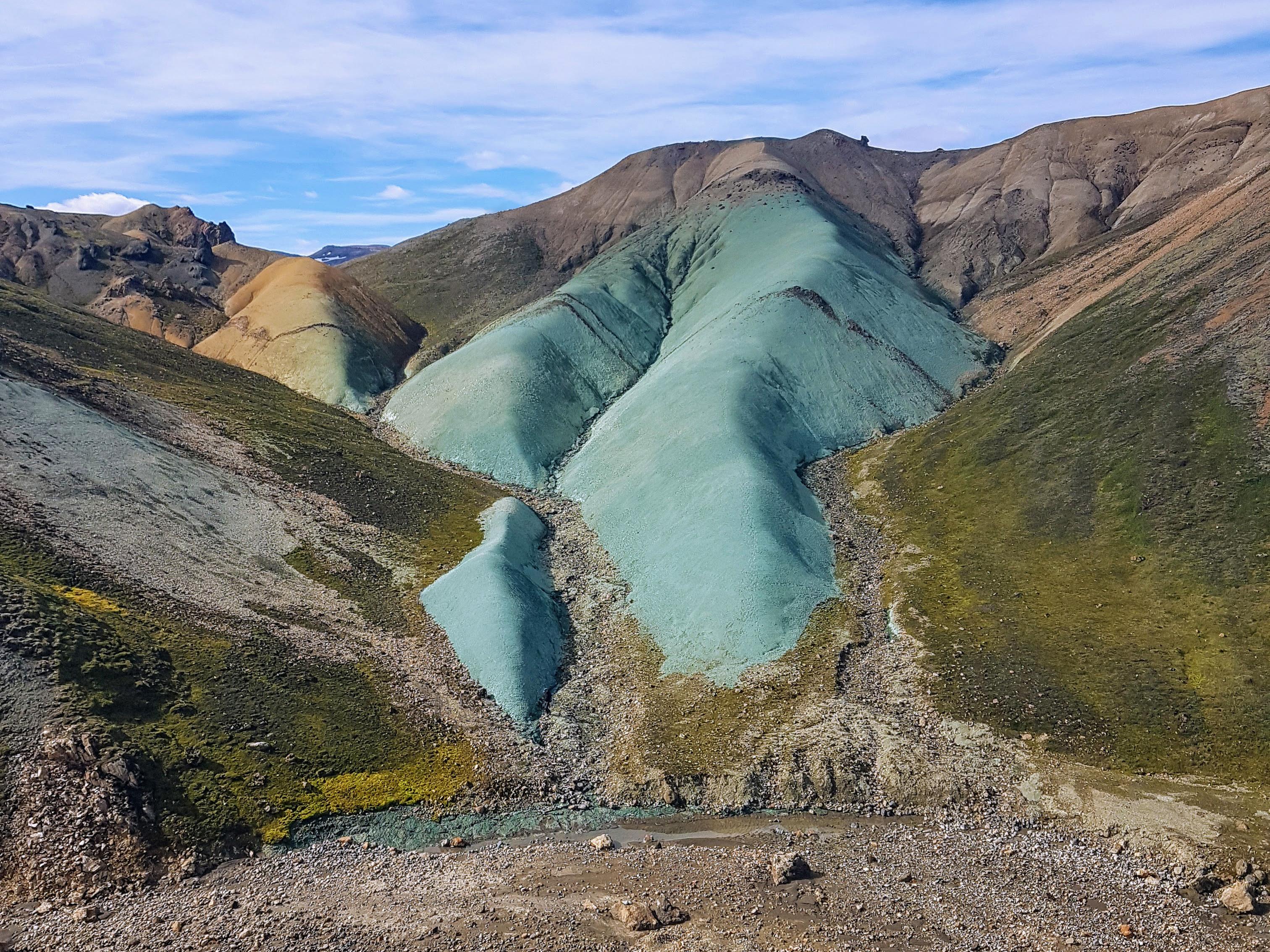
The Green Ridge Hike
