Iceland: A Country Divided by a Crack in the Earth
| All
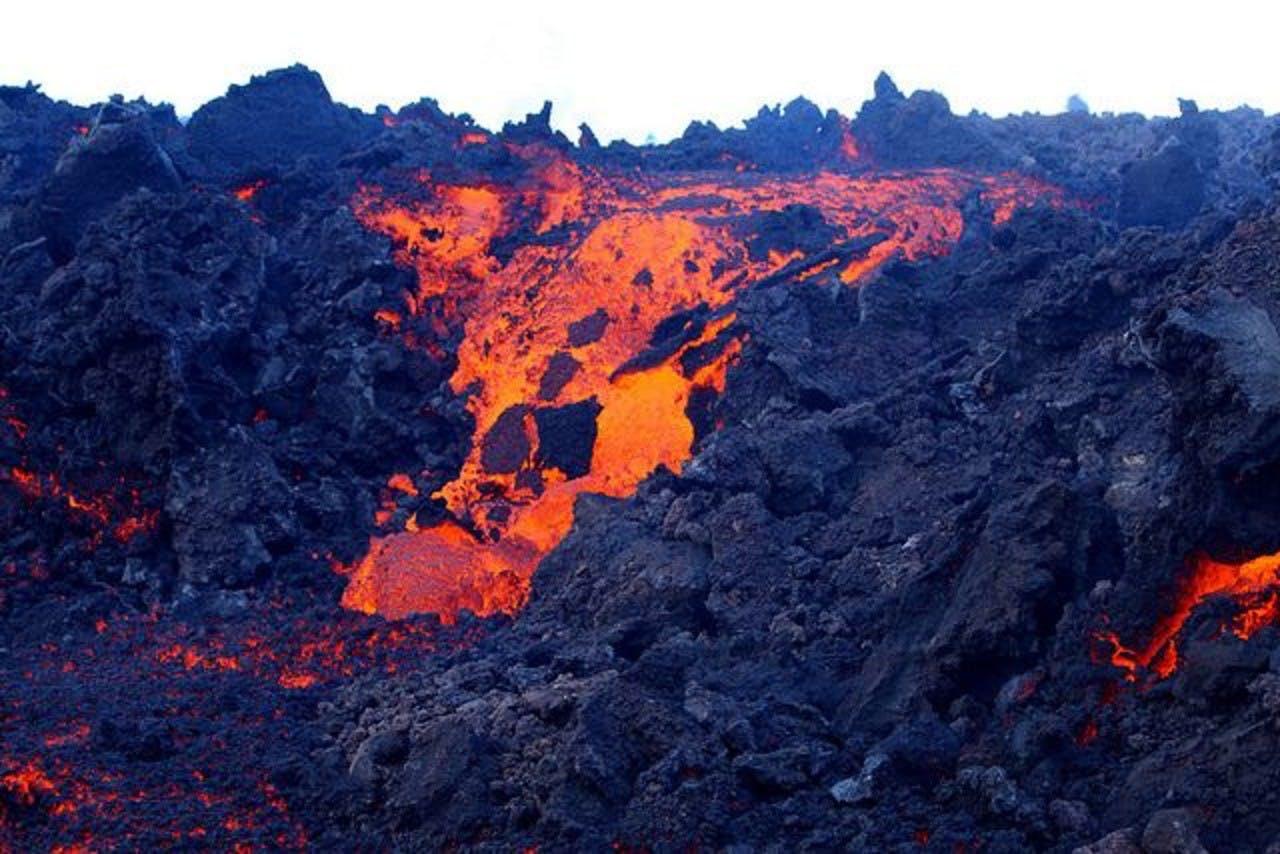
Volcano in Iceland
Iceland churns, bubbles, boils, and flows in dazzling colors, dramatic paradox, and seismic adventure — for a reason. It straddles the Mid-Atlantic Ridge, a range of undersea mountains (seamounts) which wind their way from the Arctic Ocean, through the center of the Atlantic Ocean, to a point well farther south than the southern shores of Africa.
The Mid-Atlantic Ridge extends 16,093 km (10,000 miles) — north-to-south — and ranges to a width of 1609 km (1000 miles), equidistant between the continents to the west and east of it. This underwater landmark is significant because it marks the division of the two crustal plates that form the ocean floor of the Atlantic Ocean. The ridge is adjoined by a long canyon, 80-113 km (50-70 miles) in width, and which continually spreads wider. The mountains of the Mid-Atlantic Ridge continue to grow, and the rift continues to widen because the area is alive with volcanic activity.

The Mid-Atlantic Ridge has a major impact on Iceland, not only because the ridge divides the country in two, but also because the ridge is an area of lively volcanic activity, and rises above the surface of the ocean in only a few locations.
Iceland is one of those few locations, it’s where the largest portion of the Mid-Atlantic Ridge rises above sea level.
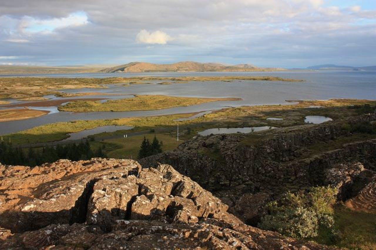
Just forty minutes northeast of Reykjavik, along Route 36, Þingvellir National Park provides the best opportunity to walk the seam of the Mid-Atlantic Ridge, with one foot on the North American tectonic plate, and the other on the Eurasian tectonic plate. Jagged volcanic mountains — the sleeping giants of Iceland — surround the park. Mt Skjaldbreiður, a magnificent shield volcano, dominates the horizon to the north of Þingvellir. Þingvallavatn Lake, Iceland’s largest inland body of water, borders the south rim of the park.
Fissures and faults run all through the valley. Almannagjá canyon, the largest tectonic landmark on the valley floor, stretches nearly 8 km (5 miles), with a width of 64 m (209 feet), with a vertical displacement that ranges 30-40 meters (98-131 feet). Almannagjá defines the eastern border of the American tectonic plate. The opposite cliffs (Hrafnagjá) mark the western boundary of the Eurasian tectonic plate. Standing upon the floor of the gorge, it is hard not to feel mesmerized when you realize that, not only are you standing at the junction of two continents, you are actually looking at them, and are able to run your hands across the black rock that defines them.
Technically, the Almannagjá canyon has changed the panorama of Iceland. Over the past ten thousand years, it has widened over 70 m (230 feet), and has sunk more than 40 m (131 feet).
The tectonic rift reminds everyone that Iceland is one of the world’s most seismically active locations, with over fifteen volcanos that have erupted over the last one hundred years.
Keep me informed about the Icelandic Mountain Guides Blog
Outdoor adventure in Iceland is our specialty. Subscribe to our free monthly newsletter to learn when to go, what to do and where to have the best adventures in Iceland.