From Landmannalaugar to Thorsmork - Iceland’s Best Hiking Trail
| All, highlands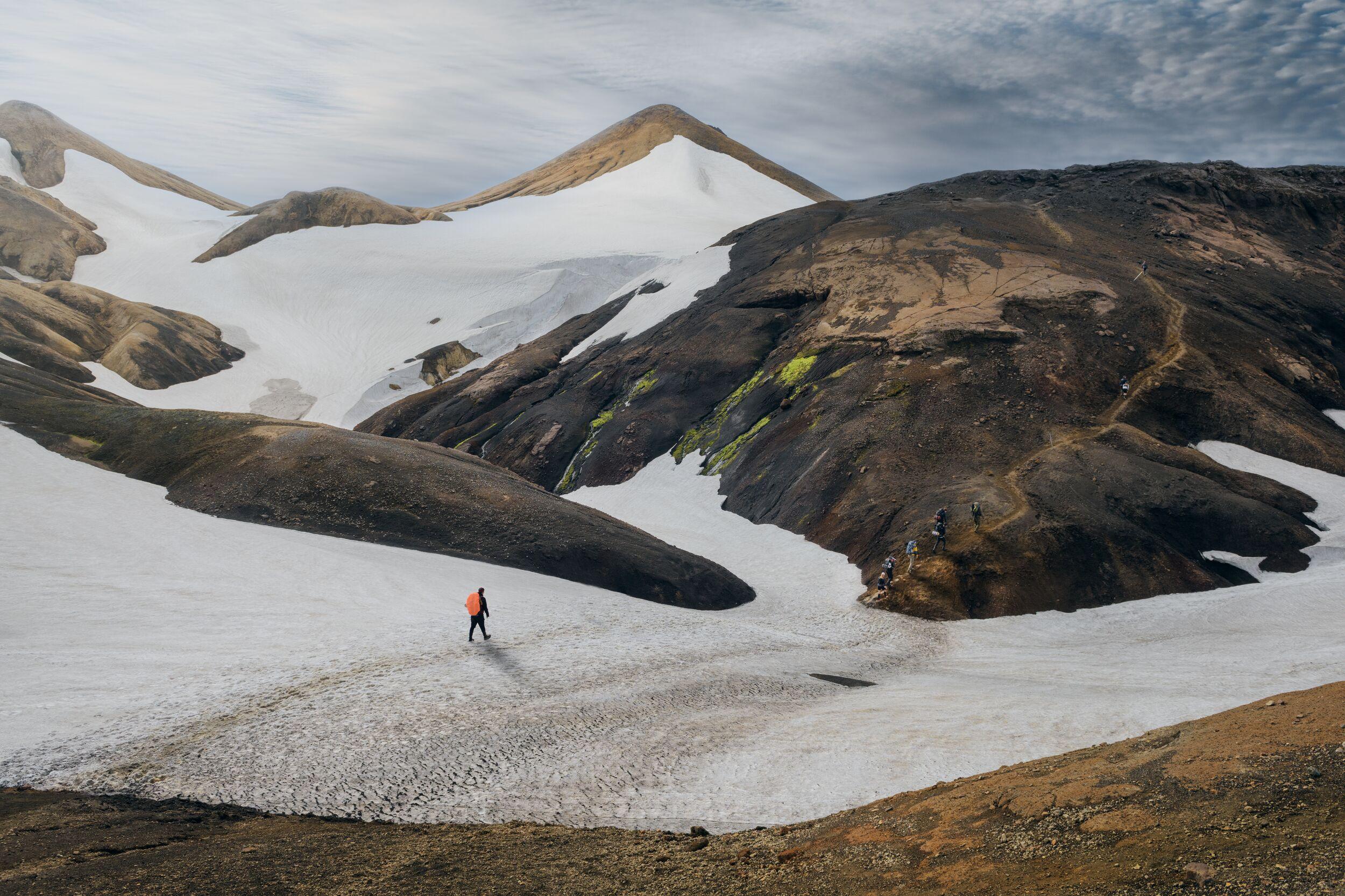
Walking the Laugavegur Trail from Landmannalaugar to Þórsmörk unlocks some of Iceland’smost magnificent landscapes, among them geothermal valleys, impressive glaciers and vast deserts of black sand. In this guide, we’ll explore what you should expect from this challenging but rewarding multi-day hike, offering practical advice on planning your hike, including the best times to trek, what to pack and how to stay safe along the way.
We’ll take a look at the pros and cons of guided tours versus independent hiking, and help you decide which is the best fit for you, whether you’re a novice or an experienced hiker.
What to Expect: Scenic Landscapes on the Laugavegur Trail
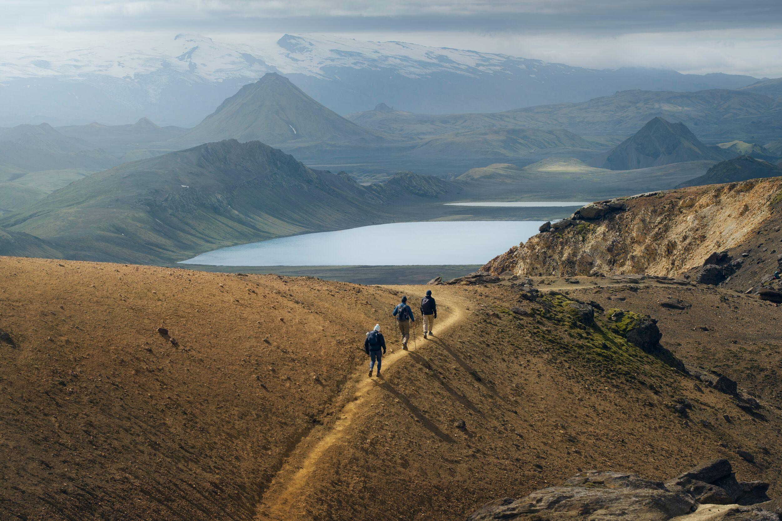
Connecting Landmannalaugar and Þórsmörk in the Icelandic Highlands, the Laugavegur Trail is considered one of the best hikes in Iceland. It’s 55km (34 miles) long and while the fastest finishers of 2024’s Laugavegur Ultra Marathon completed it in under five hours, it is usually tackled over four days. But what are its main highlights and attractions? Let’s take a look day by day:
Day 1 Landmannalaugar to Hrafntinnusker (12km)
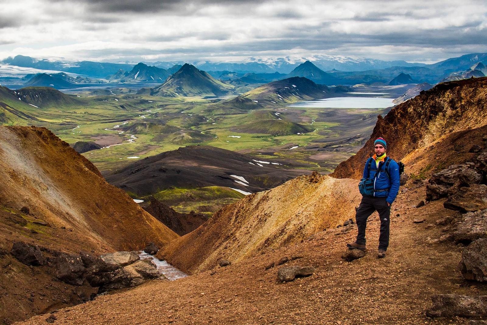
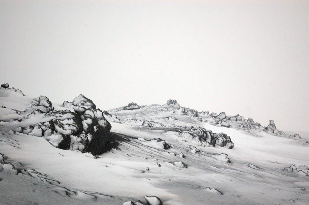
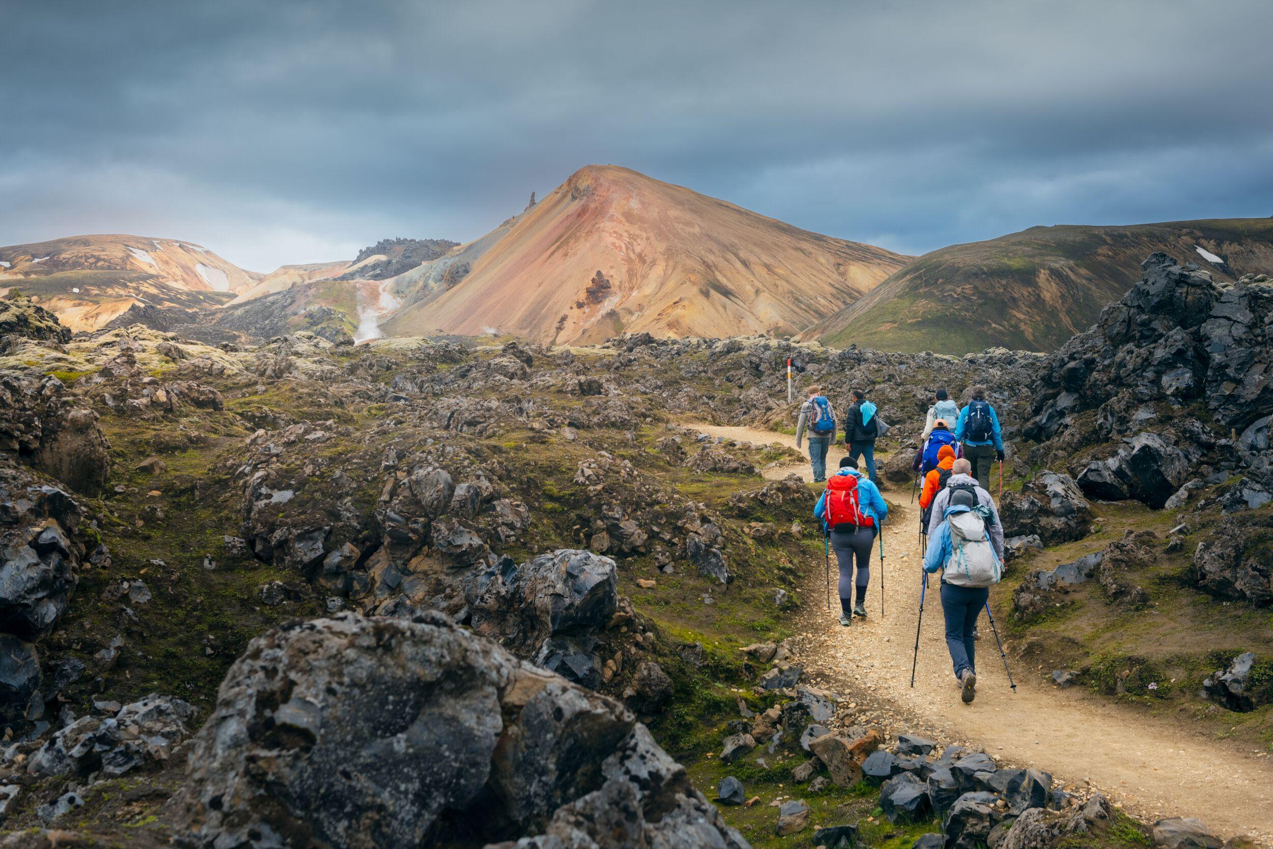
This is the most challenging and arguably the most dramatic section of the trail. You’ll experience a steep elevation gain, though as you pick your way across Laugahraun lava field and up beside Brennisteinsalda mountain (known as the Sulphur Wave because of its striking colour) the stellar views will take your breath away. Passing steaming geyser fields such as Stórihver and traversing black obsidian fields, often blanketed with snow. Hope for clear weather – this is a place where fog is disappointingly common.
Day 2 Hrafntinnusker to Álftavatn (12km)
On the second day, Laugavegur Trail hikers begin their descent, navigating snow-filled valleys along Reykjafjöll and Kaldaklofsfjöll. At Jökultungur, you reach one of the most jaw-dropping panoramas of the entire trail – in good visibility, you can see three glaciers from this point – Mýrdalsjökull, Eyjafjallajökull and Tindfjallajökull. You’ll wade across the river to reach Álftavatn but the trail levels out. The contrast between the green-clad foreground and the craggy peaks behind it is marvellous.
Day 3 Álftavatn to Emstrur (16km)
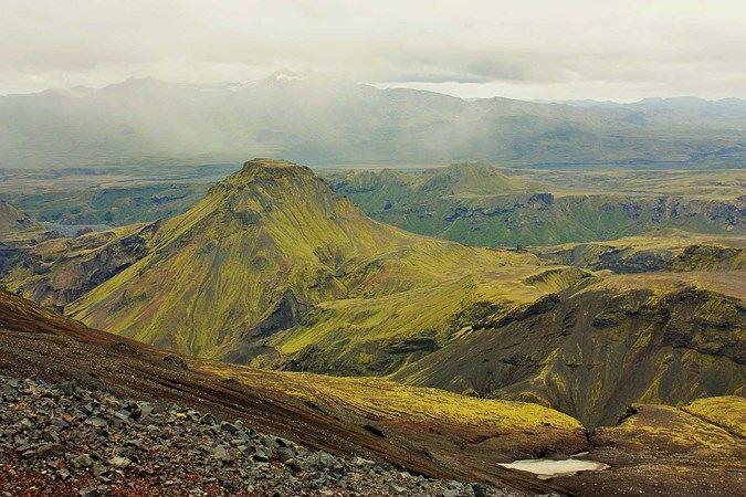
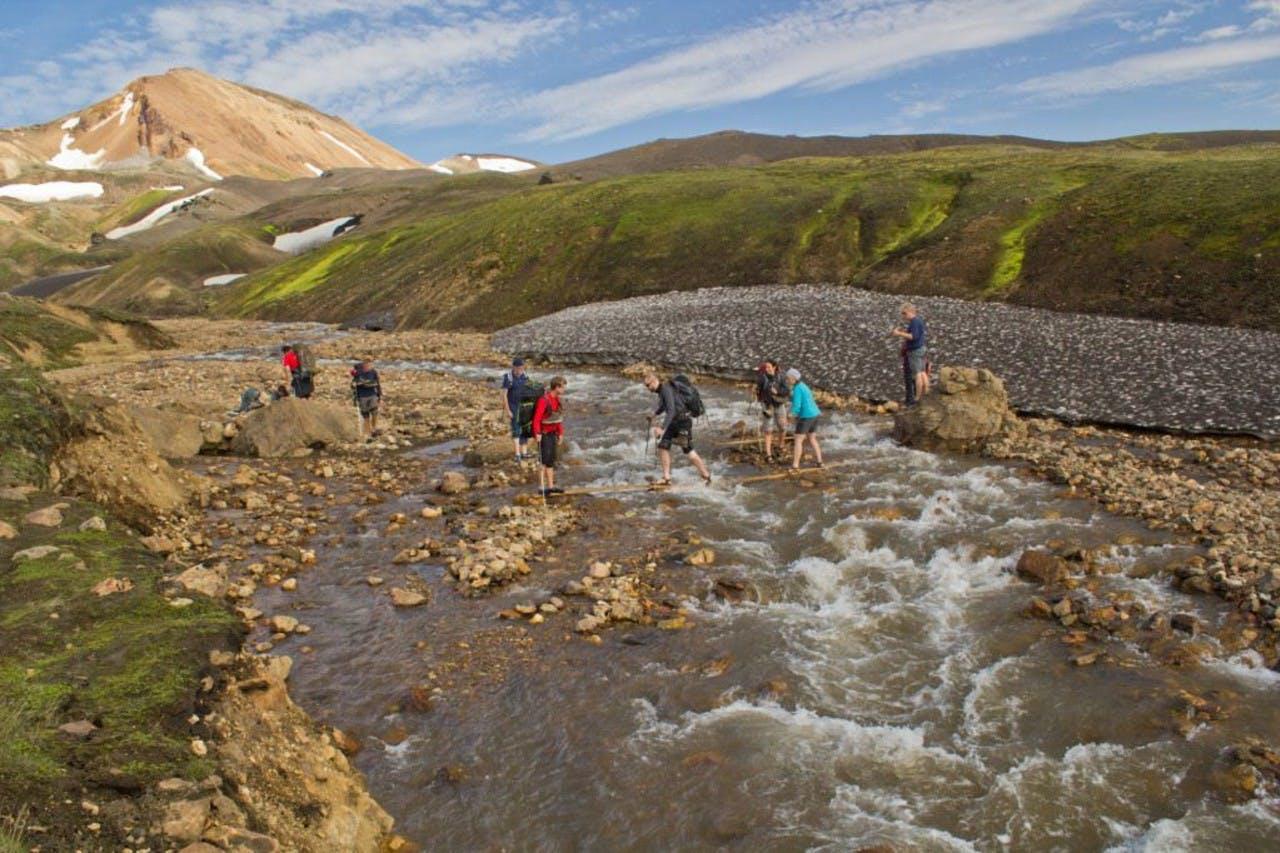
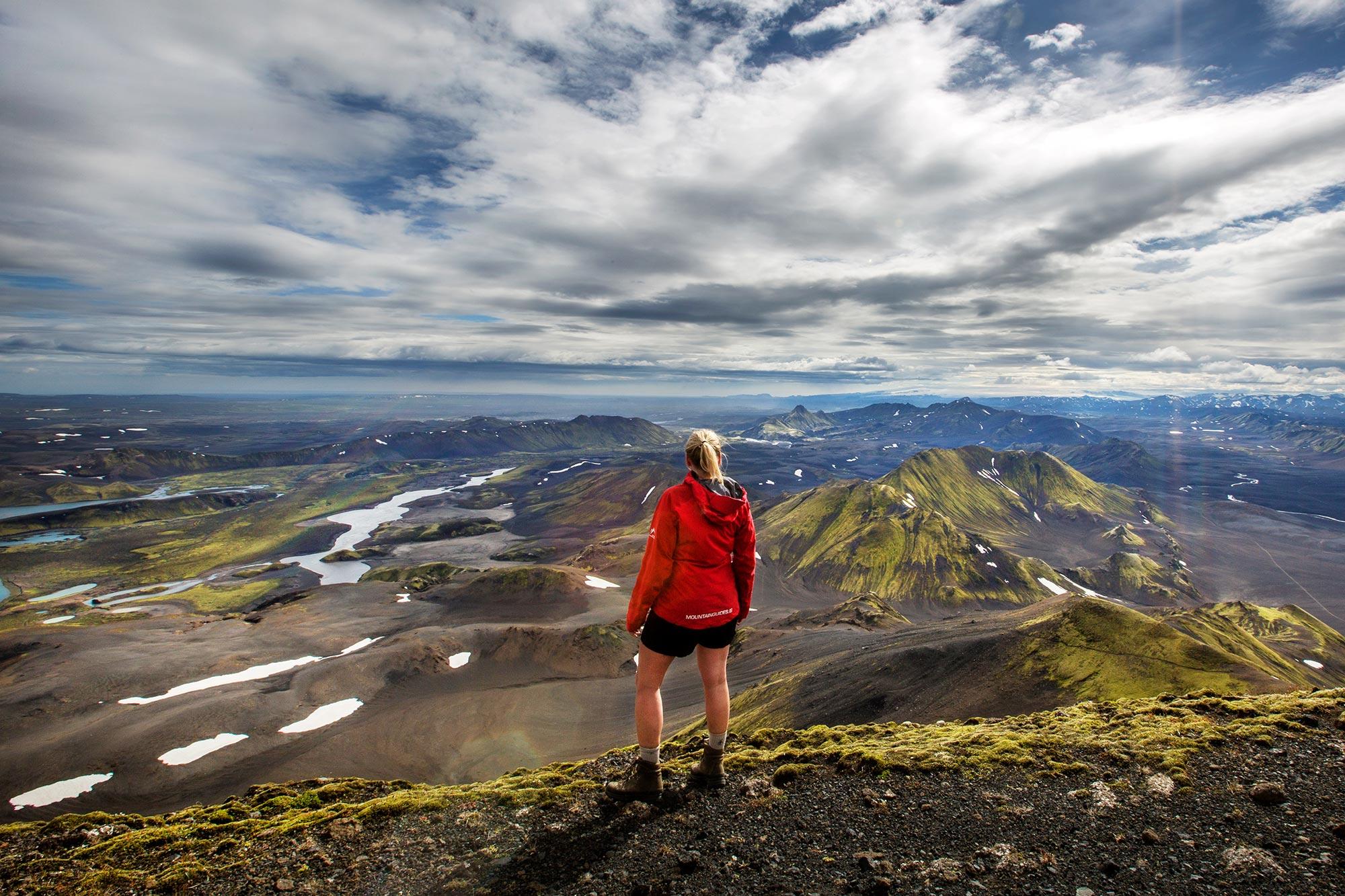
This section of the trail features some river crossings on foot where you’ll need to take care after prolonged periods of wet weather. Following the Brattháls ridge on the way to Hvanngil, a verdant volcanic valley, gives you the opportunity for a restorative pit-stop. Otherwise, largely downhill, it’s generally not too tricky. In places, the landscape is barren and bleak; the dry air and strong winds preclude much in the way of vegetation. This is Mælifellssandur, where lumps of pumice litter the black sand.
Day 4 Emstrur to Þórsmörk (15km)
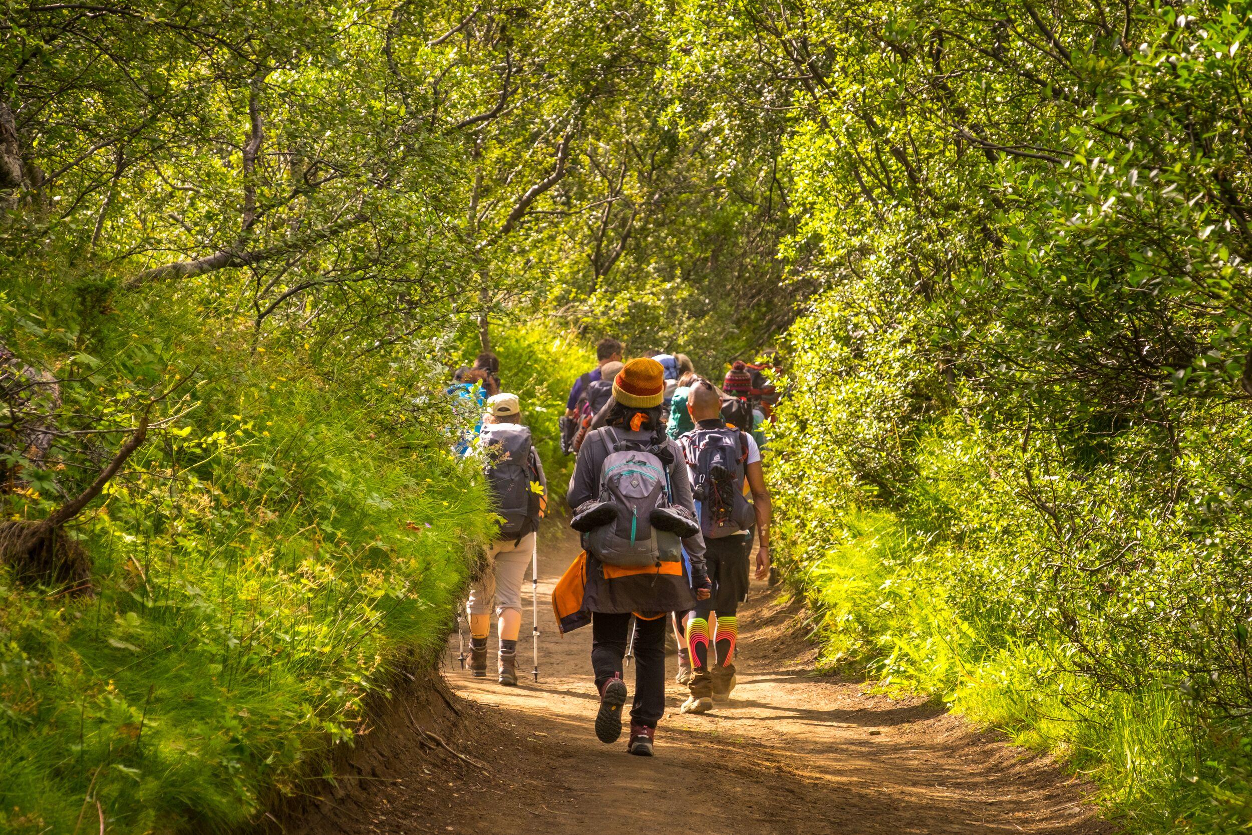
On the final stretch, hikers follow a river that has cut a narrow canyon until they reach a pair of ravines, Slyppugil and Bjórgil. The scenery is noticeably more verdant, with an increase in pretty moss and lichens as Þórsmörk nears. Fording the Þröngá over a rocky river bed is a bit of a challenge, especially after rain. But it’s forgotten as you pass through the Hamraskógar forest and arrive in lush Þórsmörk at the end of this epic trail.
Practical Advice for Your Laugavegur Hike
How difficult is the Laugavegur Trail?
To answer this question depends a lot on your level of fitness and whether or not you are an experienced hiker. While seasoned pros might judge this to be a moderate hike, if you’re unused to exertion at altitude then the first stretch of the trail as you depart Landmannalaugar is going to feel especially challenging. Spread over four days, the trail is doable.
Hiking in Iceland isn’t something to be taken lightly, particularly if you’re considering an epic hike like the Laugavegur Trail. Preparation is everything, so let’s take a look at the things you need to be aware of before you set out on this challenging but rewarding outdoor adventure.
The best time to tackle the Laugavegur Trail
The Laugavegur Trail never closes, but getting to it is much harder outside peak season as highland roads are still closed. There’s another, far more important, reason to tackle this multi-day hike in summer and that’s the weather. Even in June, snowfalls in this part of Iceland are commonplace and on the more exposed stretches of the trail you’ll be grateful for milder weather, even if it’s still likely that the mist will descend unless you’re very lucky.
Parts of the trail also experience wetter weather than is average for the country. Þórsmörk is a case in point; in a typical year it might receive upwards of 3000mm of rainfall every year. To put that in perspective, London’s annual rainfall total is under 700mm and New York City’s around 1100mm.
What to pack for your hike
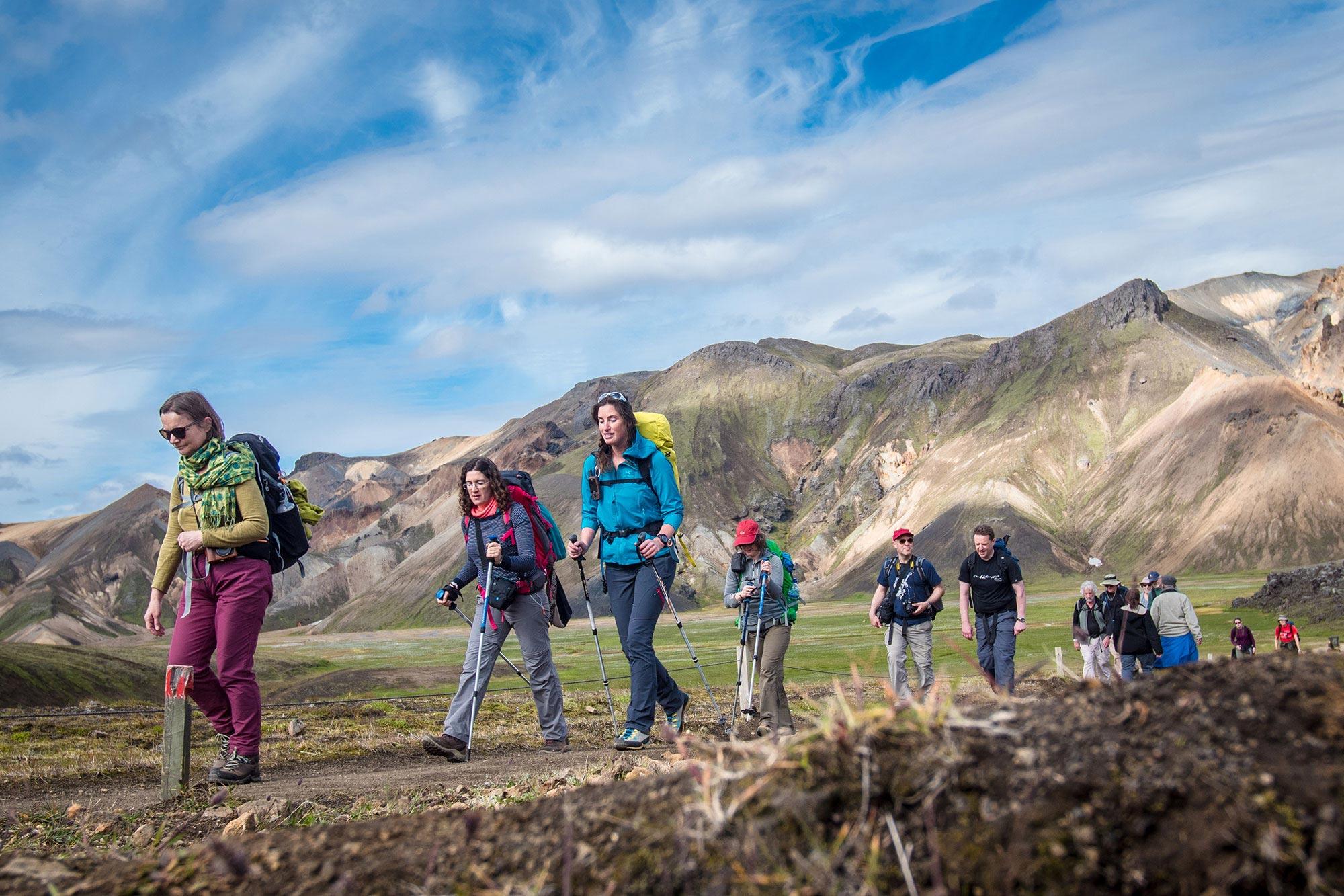
Even in summer, the weather in the Icelandic highlands can feel distinctly wintry, so plan accordingly. Essential gear includes a decent quality base layer; thermals will keep you warm if the wind picks up or the temperature plummets. Over the top you’ll need a high quality wind- and waterproof outer layer.
Sturdy hiking boots with a good grip and ankle support are a must; make sure new footwear is properly broken in to prevent blisters and wear thick socks to cushion your feet while on the trail. Pack a hat and gloves; early or late in the season you might also benefit from crampons.
A basic first aid kit is always useful. If you’re overnighting in the trail’s huts, you’ll need a lightweight sleeping bag. Those who plan to camp will need something more substantial, plus a tent and sleeping mat. If hiking independently, you’ll also need to think about food; on a tour carry some energy-boosting snacks.
Where to stay along the route
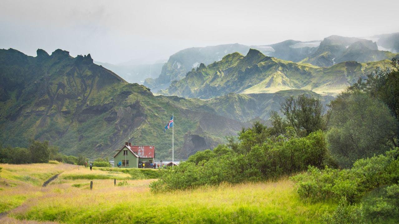
Accommodation on this popular hiking route is limited and sells out quickly as the season is short, so you’ll need to plan well in advance. Huts are the most comfortable option. They vary in size and in the facilities they offer. You can compare them if you take a look at the website of Ferðafélag Íslands, the Iceland Touring Association, which covers each in detail.
There are just six huts along the trail. The large hut at Landmannalaugar has room for 78 people, while the Höskuldsskáli hut in Hrafntinnusker has a capacity of 52. There is space for 72 overnight guests at the Álftavatn hut, plus 60 at both Hvanngil and Emstrur. Finally, the hut at Þórsmörk can accommodate 75 weary souls.
Camping is also an option. Campsites are found alongside each hut; note that pitching a tent in a place that isn’t a designated camping ground is illegal. Respect for nature is a must in a place like the Icelandic highlands where the landscape is fragile and easily destroyed. One footprint attracts another, so ensure you behave responsibly so that others can enjoy the area too.
Safety tips for travellers embarking on the Laugavegur Trail
Don’t underestimate this trail, despite its popularity. Even in summer, the weather conditions at this altitude can be dangerous. Dress appropriately for the uneven and exposed terrain. Guided tours are popular for a reason, providing reassuring back up if things get challenging. If you plan to hike alone, file a trip plan with Safe Travel so that your arrival can be logged.
Comparing Guided Tours with Independent Hiking: Which is Best for You?
The role of a guide
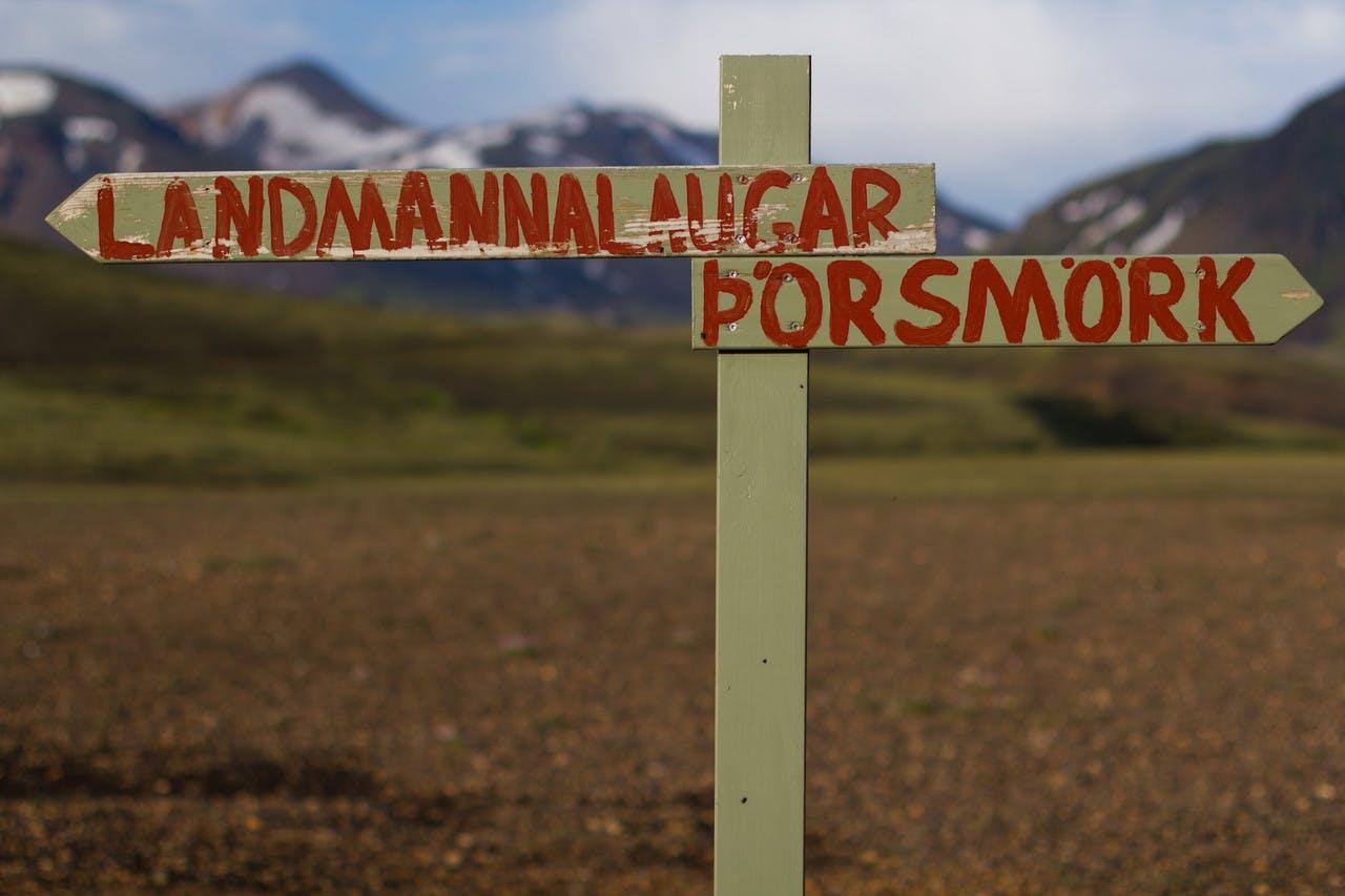
In theory, as the Laugavegur Trail is well-trodden and has signage along its entire length, you don’t need a guide. But Iceland’s unpredictable weather might be giving you second thoughts – there’s not a lot of point in there being a signpost if it’s shrouded in fog and you can’t see it.
Unless you are very confident in navigating your way along unfamiliar trails, engaging a guide equates to confidence. If you’re a solo traveller especially, this might give you peace of mind. A guide can help you pick your way along snow-covered stretches of the path and ford the rivers and streams that bisect it. A guide will also be able to provide interesting commentary to help you understand more about the landscapes through which you are hiking.
Logistics at the start and end of the hike
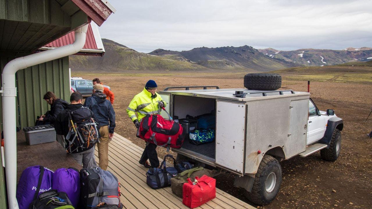
Organised tours also help a lot with logistics. As this is a linear route, you’ll be starting at one place and finishing at another. Driving yourself to one end leaves you with the problem of getting back to your starting point and retrieving your vehicle. Buses serve Landmannalaugar, Þórsmork and Skógafoss but they are infrequent; even in peak season the schedule is limited.
Guided tours provide the transport to drop you off and pick you up again. Once you’re ready to leave, there’ll be no need to hang around for hours waiting for transport. Instead, you’ll simply load your gear into the vehicle and be on your way in next to no time. Vacation time is precious – why waste it on logistics when you can be having fun elsewhere?
Provisioning
One of the big advantages of opting for a guided hike is that food along the trail will be taken care of. There are a couple of restaurants, one at Álftavatn typically open from late June to the beginning of September and the other close to Þórsmörk’s Volcano Huts at the end of the trail.
However, they don’t have a lot of capacity and booking in advance is necessary. Huts usually stock a limited range of snacks and drinks but tend to be pricey on account of the effort it takes to get supplies to remote locations. If you’re self-catering, you’ll need to carry every meal you intend to eat; if camping, that also means the equipment to cook and serve it.
Permits
Permits aren’t required for the Laugavegur Hike. However, that doesn’t mean you can just casually turn up and start hiking. Because this is a multi-day hike, thought needs to be given to where you’ll spend the night after completing each stage of the trek. Huts and camping pitches are in high demand during the summer months so be prepared to book many months in advance. In peak season, these bookings run from north to south when the trail operates one-way only.
Cost
Our tours represent excellent value for money. If you’re on a tight budget, then camping is the most cost-effective way of ticking off this must-do hike. But as the old adage tells us, you get what you pay for, and the value of expert guiding as well as logistical support shouldn’t be underestimated. Sometimes increasing your budget pays dividends when it comes to the overall experience.
Our four-day classic tour with the services of our accompanying guide and overnight accommodation in huts costs from 325,000 ISK per person. Opting to do a self-guided walk but letting us plan it for you works out considerably cheaper.
Extending the Hike to Incorporate Fimmvörðuháls
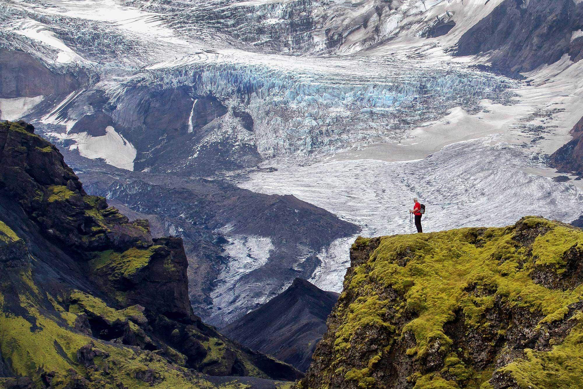
The Laugavegur Trail ends at Þórsmörk, but it’s possible to carry on as far as Skógafoss. Usually, adding the Fimmvörðuháls trek means extending your hike by another day or two, but the scenery along this trail is extraordinary, making this another of Iceland’s most highly regarded hikes.
Fimmvörðuháls (meaning five cairn trail) is 25km (15 miles) long and squeezes between Eyjafjallajökull and Mýrdalsjökull before following the course of the river Skógá to the top of the landmark waterfall. As with Landmannalaugar, Þórsmörk itself is beautiful and there are a plethora of popular trails such as those leading to Tröllakirkja, summit of mountains like Réttarfell, Valahnúkur and Rjúpnafell or to the Sönghellir caves.
If you feel it’s within your capabilities, hiking the Laugavegur Trail will be an unforgettable experience during your time in Iceland. If you want to feel a sense of accomplishment as you enjoy some of Iceland’s most extraordinary scenery, completing this trail is for you.
Joining one of our guided Laugavegur tours takes any worry out of the planning, organisation and logistics of the trip. In the company of an enthusiastic, knowledgeable guide and like-minded fellow travellers you’re sure to have a great time.
Keep me informed about the Icelandic Mountain Guides Blog
Outdoor adventure in Iceland is our specialty. Subscribe to our free monthly newsletter to learn when to go, what to do and where to have the best adventures in Iceland.
Related Blog Posts
Related Tours
Laugavegur & Fimmvörðuháls Combo Tour
Laugavegur Trek Classic (Huts)
Volcanic Trails
